LE CAT Arnaud & QUENUM Luther
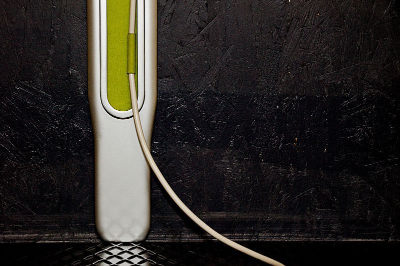
Atlas
VIA Program : Project Assistance
Year : 2011 - Publisher : Unknown
Prototype
Carbon, aluminium, wool and LED light
Very good condition
Size : 375 x 15 cm
We use cookies to provide you with a better browsing experience, perform site traffic analysis, and deliver content and advertisements most relevant to your interests.
Cookie management:
By allowing these cookies, you agree to the deposit, reading and use of tracking technologies necessary for their proper functioning. Read more about our privacy policy.