Description
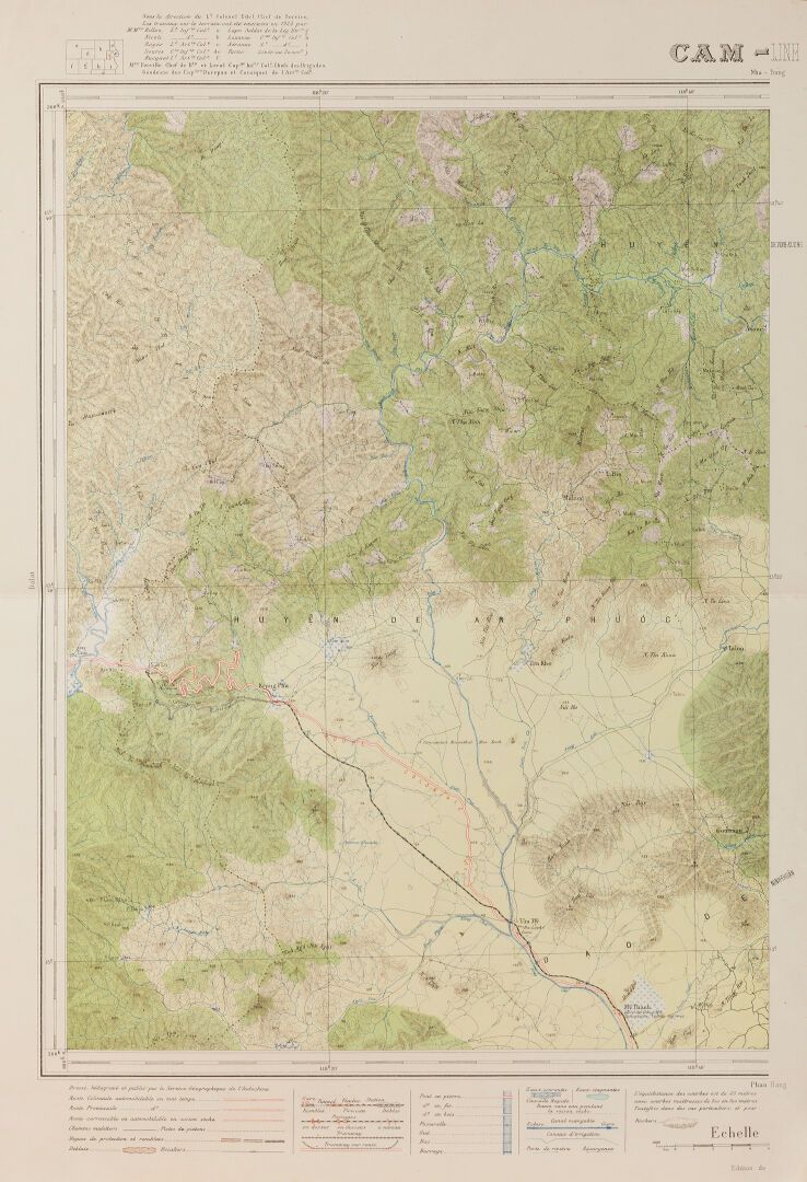
1881 - 1946 Service hydrographique de la Marine. Set of 4 printed charts of the China Sea coasts: - Annam coast from Ile buffle to Cap Batangan. - Gulf of Tonkin: Annam coast from Hon-Matt to Hon-Né. - Gulf of Tonkin: Annam coast from Hon-Tseu to Hon-Natt. - Gulf of Tonkin: Tiger Island to Cape Chon May near Hué. Dimensions: 74x104 cm. Service géographique de l'Indochine. Set of 7 color printed maps, scale 1: 100.OOOe: - Gia-Ray - Mu-Gia with photographic map - Hon-Quan (part) with photographic map - Cam-Linh - Nah-Trang and part of a map at 1:25,000 scale - Cape Varella - Hon-Khoï (Damaged edges).
49
1881 - 1946 Service hydrographique de la Marine. Set of 4 printed charts of the China Sea coasts: - Annam coast from Ile buffle to Cap Batangan. - Gulf of Tonkin: Annam coast from Hon-Matt to Hon-Né. - Gulf of Tonkin: Annam coast from Hon-Tseu to Hon-Natt. - Gulf of Tonkin: Tiger Island to Cape Chon May near Hué. Dimensions: 74x104 cm. Service géographique de l'Indochine. Set of 7 color printed maps, scale 1: 100.OOOe: - Gia-Ray - Mu-Gia with photographic map - Hon-Quan (part) with photographic map - Cam-Linh - Nah-Trang and part of a map at 1:25,000 scale - Cape Varella - Hon-Khoï (Damaged edges).