Description
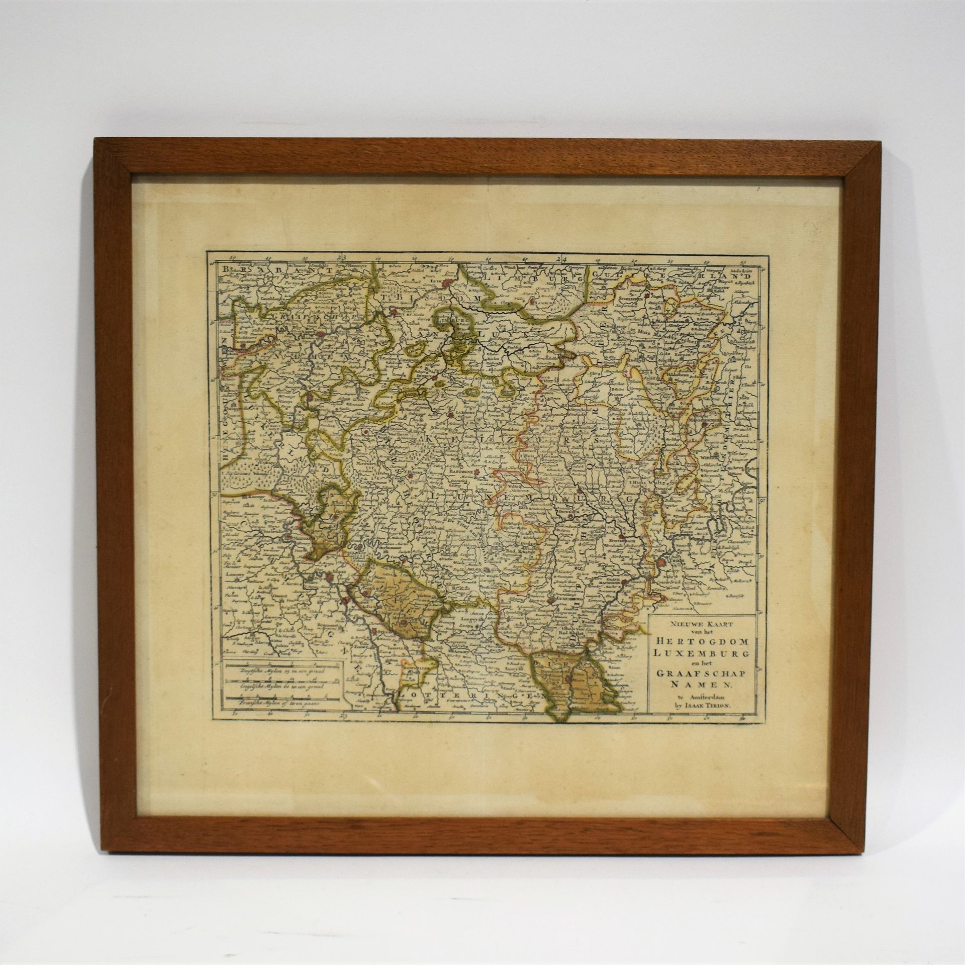
(MAP) Lightly watercolored antique map of the Duchy of Luxembourg: "NIEUWE KAART van het HERTOGDOM LUXEMBURG" by Isaak TIRION, 1737, 38 x 41 cm (on view) [Emile Van Der Vekene: Les cartes géographiques du Duché de Luxembourg: 3.17].
435
(MAP) Lightly watercolored antique map of the Duchy of Luxembourg: "NIEUWE KAART van het HERTOGDOM LUXEMBURG" by Isaak TIRION, 1737, 38 x 41 cm (on view) [Emile Van Der Vekene: Les cartes géographiques du Duché de Luxembourg: 3.17].