Description
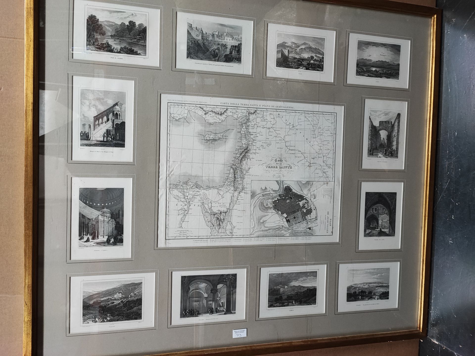
Map of the Holy Land by Tardieu in 1849, surrounded by engravings of the Holy Places, in the same frame 94 x 107 cm. JOINT: two other frames containing several views of places in the Holy Land, engravings in black
79 .A
Map of the Holy Land by Tardieu in 1849, surrounded by engravings of the Holy Places, in the same frame 94 x 107 cm. JOINT: two other frames containing several views of places in the Holy Land, engravings in black