JUAN, George & ULLOA, don Antoine de
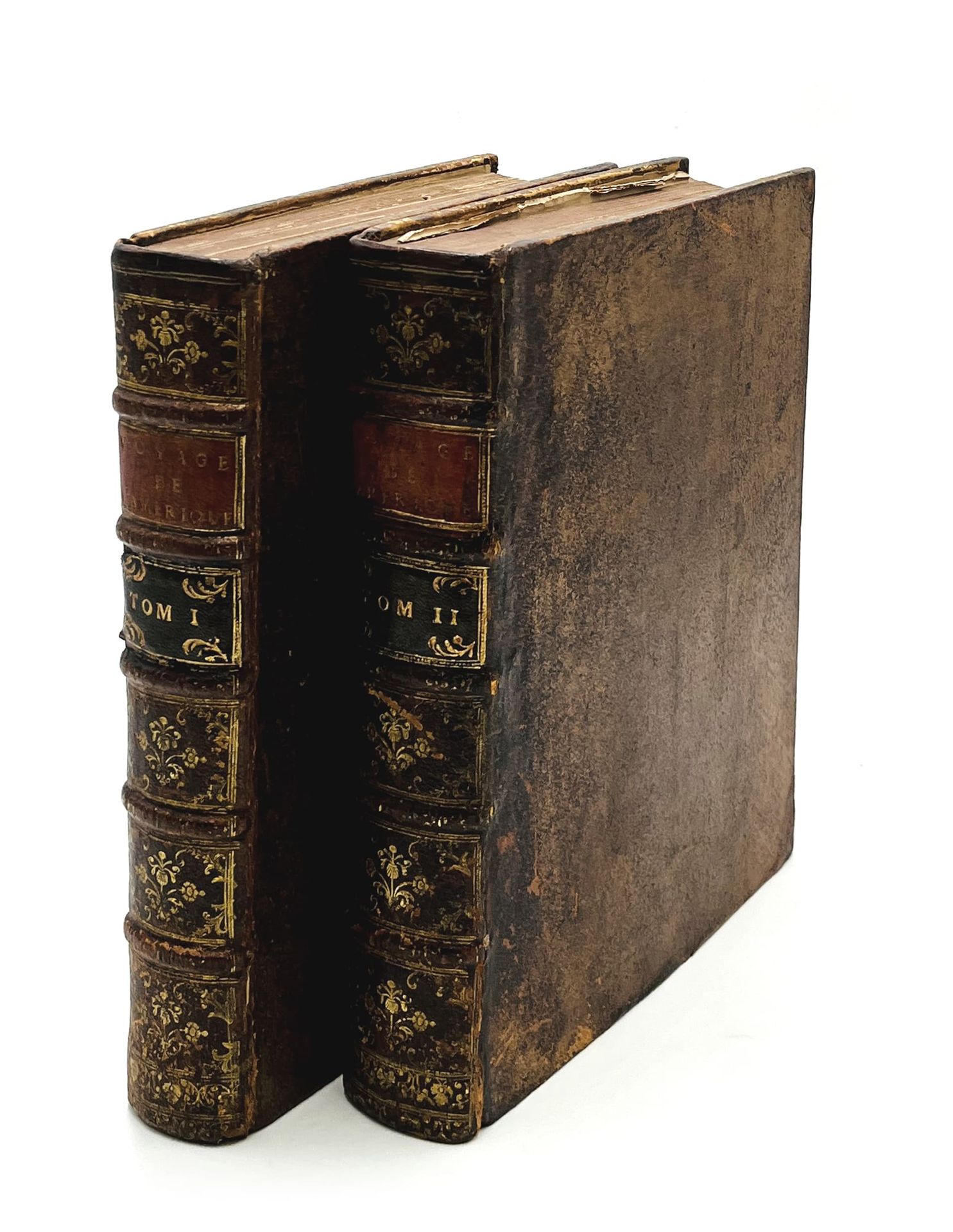
Historical voyage of southern America made by order of the king of Spain. And which contains a history of the Yncas of Peru, and the astronomical & physical observations, made to determine the figure & size of the earth. Amsterdam and Leipzig, Arkstee & Merkus, 1752. 2 volumes in-4 (253 x 203 mm) of an engraved frontispiece, 11 ff.n.ch., 554 pp., 25 numbered plates printed on 24 sheets (21 of them folding) for volume I; engraved frontispiece, 1 f.n.ch. of title, 316 pp, pp. *193-*200, and pp. *201-*208, 3 f.n.ch., 20 engraved plates (numbered 26-37, and 8 unnumbered), 4 f.n.ch., pp. [3]-309, 1 f.n.ch., 9 engraved plates (numbered 38-46) for the 2 volumes of volume II. Speckled calf, spine ornamented, spotted edges (English binding of the period).
Sabin, 36812; Hill, 1740; Leclerc, 1856; missing in Chadenat ;
First edition "of this esteemed work translated by de Mauvillon. The extract of the work of Garcillaso de la Vega is decorated with the same figures as the translation of the book printed in Amsterdam in 1733" (Leclerc).
It is very richly illustrated with 2 allegorical frontispieces as well as 54 plates drawn on 53 leaves (numbered from 1 to 46, and 8 plates in the second part of volume II without numbering).
This account, considered to be the most complete of the 18th century on South America, is the result of ten years of travel and observation by a group of eminent European scientists. The French academicians La Condamine, Bouguer and Codin, conceived the idea of a voyage of exploration to the equinoctial countries of South America in order to determine the shape of the earth by measuring the degrees of a meridian close to the equator. A Spanish expedition, under the command of the mathematician Jorge Juan and the navigator Antonio de Ulloa, collected a great deal of varied information during their journey, as a result of which the present work containing their results has become an essential source for the natural history of Peru, Chile, Ecuador and Colombia.
The beautiful series of fold-out plates depict maps and plans of vast areas of Latin America, including a large fold-out map of the eastern Pacific from the coast of Mexico to southern Chile, views of major cities such as Cartagena de las Indias, Portobelo, Quito, Lima, Callao, Valparaíso, Concepción, and Louisburg, Nova Scotia, pre-Columbian antiquities, illustrations of scientific instruments, and a lunar map.
The decorative plates of indigenous life and scenes from the history of the Incas are engraved by Jacob Folkema, F. Morellon la Care, Duflos and J. Punt after G. F. L. de Brie and B. Picart. The text includes descriptions of the cod fishery in Louisbourg (pp. 139-151) and Newfoundland (pp. 157-172). The last part is a complete report on the astronomical observations and land surveys made during the expedition.
A complete copy of all required plates. Collation in accordance with the digitalized copy available on the gallica website. Spine and corners restored, spine rubbed.
Provenance: 19th century English bookplate with the motto "Le bon temps viendra".