DURAND, Jean-Baptiste-Léonard
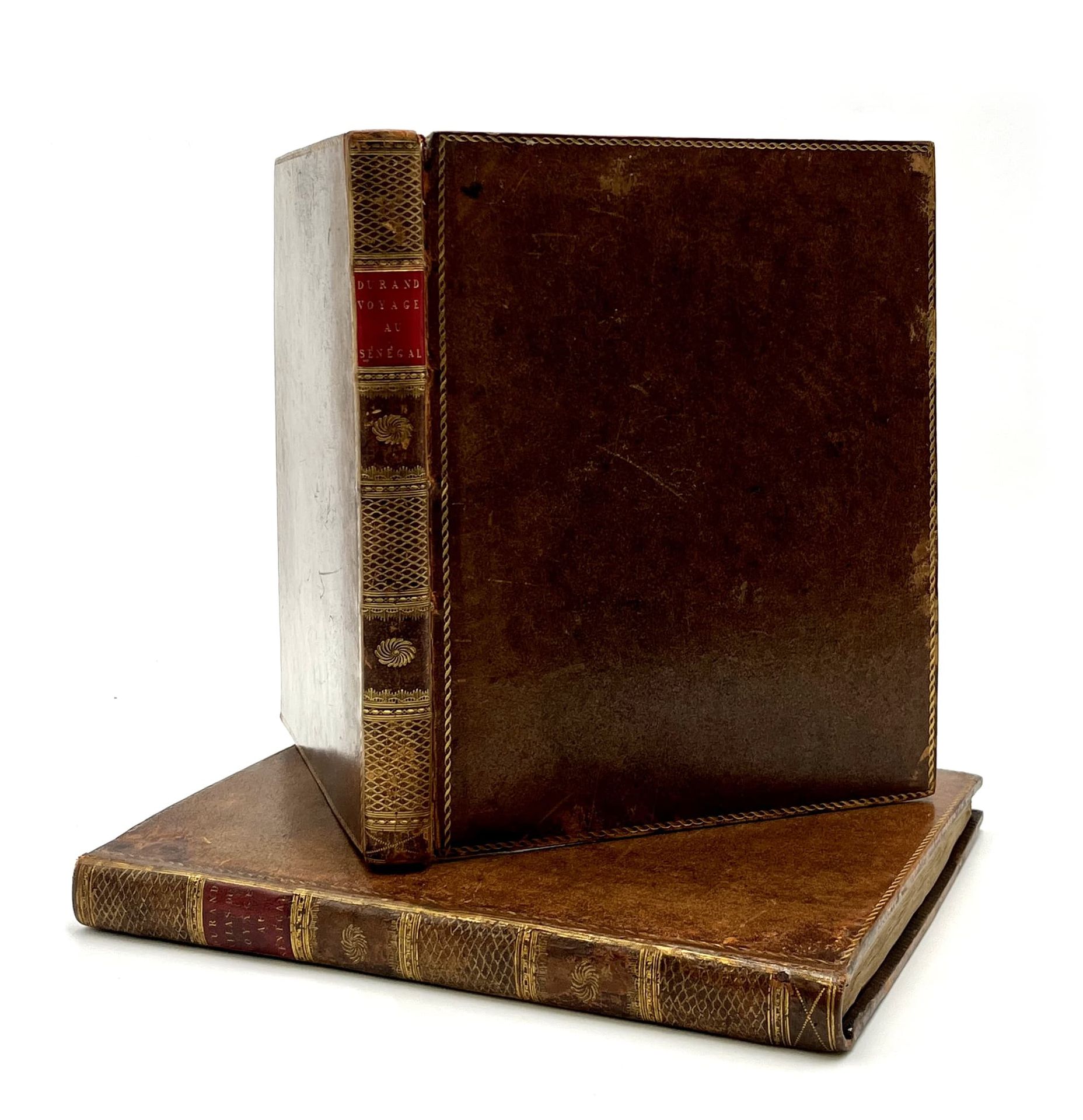
Voyage au Sénégal, ou Mémoires historiques, philosophiques et politiques sur les découvertes, les établissements, et le commerce des Européens dans les mers de l'Océan atlantique, depuis le Cap-Blanc jusqu'à la rivière de Serre-Leone inclusment ; suivie de la relation d'un voyage par terre de l'île Saint-Louis à Galam, et du texte arabe de trois traités de commerce. Paris, Henri Agasse, Year 10 - 1802. 1 volume of text in-4 (263 x 208 mm) and a large atlas in-4 (290 x 222 mm). Text : 2 ff.n.ch., XXXII, 419 pp. Atlas: engraved portrait by Viel after Roland in frontispiece, VIII pp. 2 ff.n.ch., 43 engraved plates including 16 maps and 27 plates of views and natural history. Speckled basane, gilt border, smooth spine decorated, red morocco title-piece, speckled edges (uniform binding of the period).
Gay, 2892; Quérard, II, 721; Pritzel, 2547 (only the in-8 text edition); lacking in Nissen, BBI.
First edition. A copy of the deluxe edition with the text printed in large format in-4.
Important work for the history of colonial trade with Africa.
Lawyer at the Bordeaux parliament, then employed at the Ministry of the Navy, Durand (1742-1812) was sent to Senegal in 1785 as an administrator. The trade in gum, ivory and captives was flourishing at the time and, in order to ensure their transportation, Durand concluded several agreements with the Moorish princes on the shores of Senegal.
The text offers a history and description of the regions visited and the French settlements, followed by interesting observations made during a trip to Galam, an ancient kingdom of Senegal close to the country of the Fulani and Mandingo.
The atlas contains a total of 43 plates, including 16 maps, drawn up on the manuscripts of the Marine depot and communicated to the author by a special order of Bonaparte. The first general map shows the western coast of Africa; the next 15 give details of the western coast (6 sheets), the course of the Senegal River (4 sheets), the island of Goree (1 sheet), and detailed plans of rivers, cities and mouths (4 sheets: Senegal, Île St Louis, Serra Leone, and Gambia).
The other 27 plates engraved on steel are of scientific interest or with picturesque details (shipwrecks of Brisson and Durand, manners and customs of the natives, fauna, flora, etc.). The text of the atlas also reproduces three commercial treaties, in French and Arabic.
Scattered foxing; rubbed jaws, small restorations to the spine and corners of the atlas.
A pleasant copy in a uniform binding.