Description
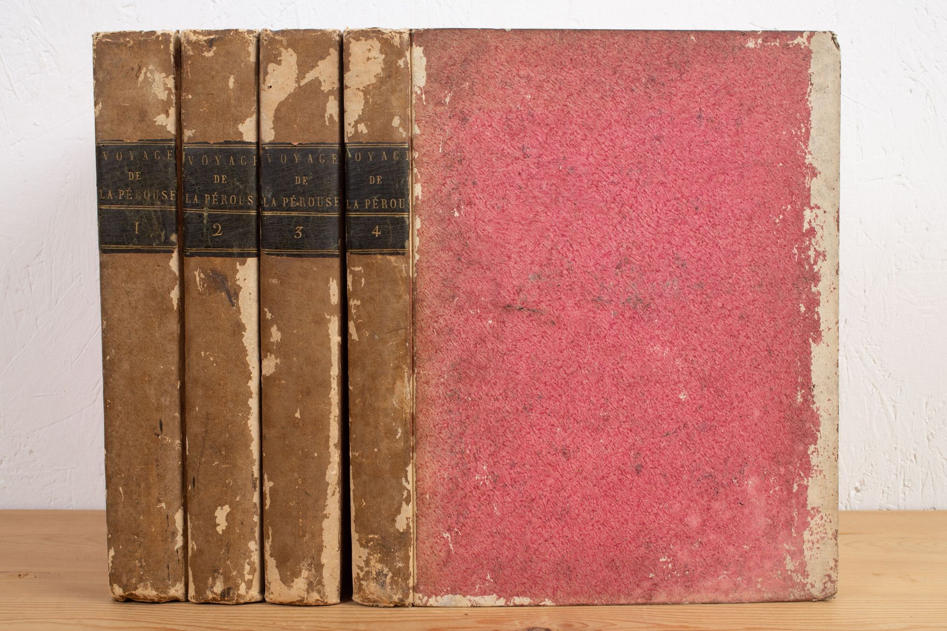
LA PÉROUSE. Voyage of La Pérouse around the world. Paris, Imprimerie de la République, An V (1797). 4 vol. in-4, bradel, pink paper boards, black title pages. First edition of this official report of the expedition, written by Milet-Mureau. Volumes of text only, with a portrait-frontispiece. Without the atlas. Hardcovers rubbed. Fresh interior.
44
LA PÉROUSE. Voyage of La Pérouse around the world. Paris, Imprimerie de la République, An V (1797). 4 vol. in-4, bradel, pink paper boards, black title pages. First edition of this official report of the expedition, written by Milet-Mureau. Volumes of text only, with a portrait-frontispiece. Without the atlas. Hardcovers rubbed. Fresh interior.
You may also like