Description
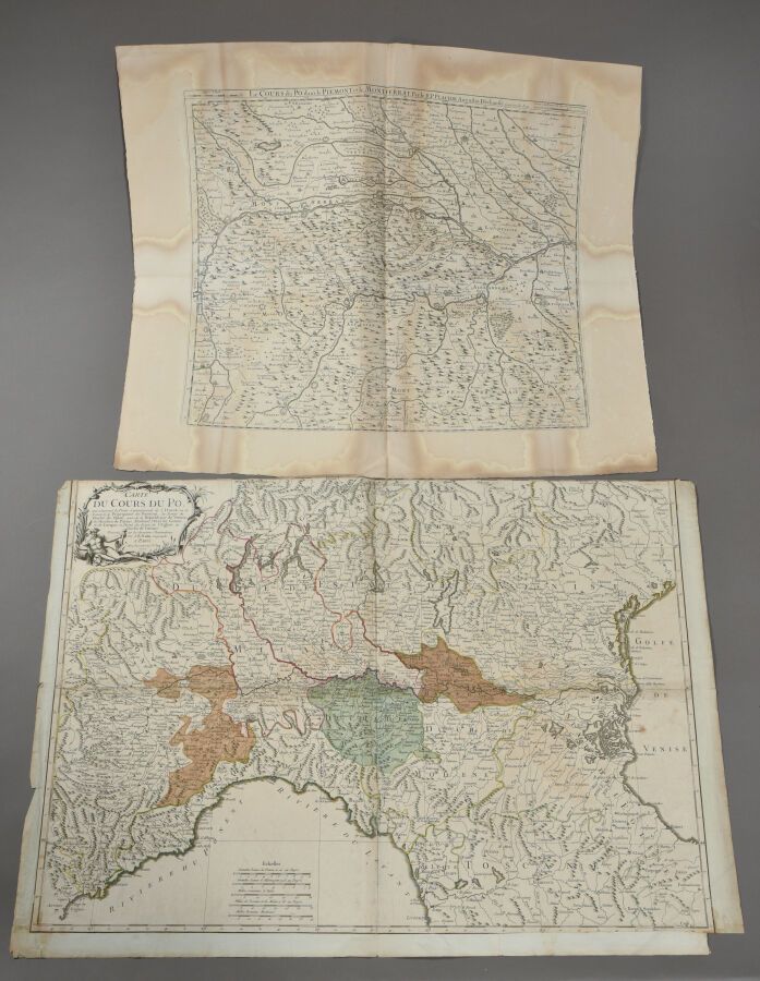
J. B. NOLIN (1657 - 1708) Map of the course of the Po, from a print of 1777. Double folio. Emargée in the upper part. Some defects, reinforcement band on the reverse, etc. Another map of the course of the Po by the reverend father PLACIDE is attached. Faded proof. Defects.
540
J. B. NOLIN (1657 - 1708) Map of the course of the Po, from a print of 1777. Double folio. Emargée in the upper part. Some defects, reinforcement band on the reverse, etc. Another map of the course of the Po by the reverend father PLACIDE is attached. Faded proof. Defects.
You may also like