Description
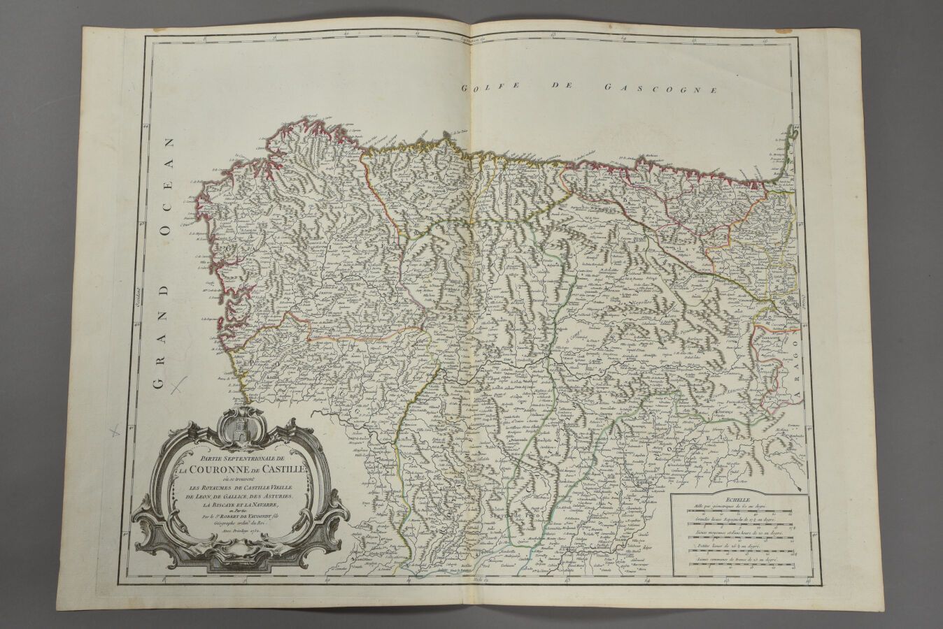
ROBERT DE VAUGONDY (France, 18th century) Map of the northern part of the Crown of Castile (Leon, Galicia, Asturias, Vizcaya, Navarre). 1752. Double folio.
539
ROBERT DE VAUGONDY (France, 18th century) Map of the northern part of the Crown of Castile (Leon, Galicia, Asturias, Vizcaya, Navarre). 1752. Double folio.