Description
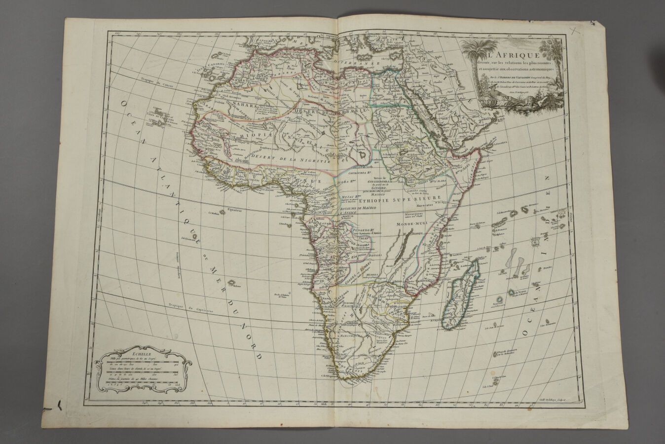
ROBERT DE VAUGONDY (France, 18th century) Map of Africa, drawn up on the most recent relations and subject to astronomical observations. 1756. Double folio. The sheet : H. 50,5 cm - L. 67 cm
536
ROBERT DE VAUGONDY (France, 18th century) Map of Africa, drawn up on the most recent relations and subject to astronomical observations. 1756. Double folio. The sheet : H. 50,5 cm - L. 67 cm