Description
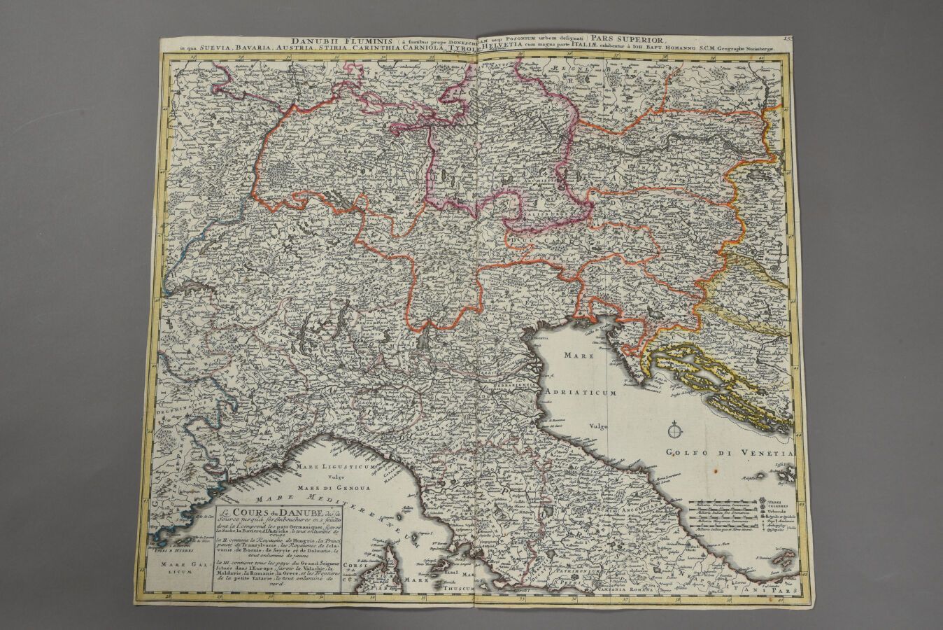
Jean-Baptiste HOMANN (Germany 1664 - 1724) Map of the upper reaches of the Danube. About 1700. Wrapped, without margins. Double folio. The sheet : H. 48,5 cm - 55,4 cm.
528
Jean-Baptiste HOMANN (Germany 1664 - 1724) Map of the upper reaches of the Danube. About 1700. Wrapped, without margins. Double folio. The sheet : H. 48,5 cm - 55,4 cm.