Description
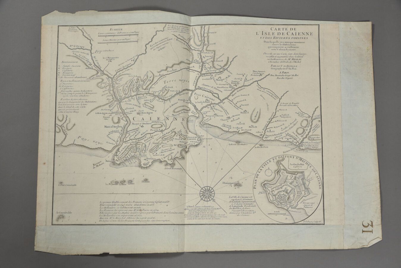
D'ANVILLE & DEZAUCHE (France, 18th century) Map of the island of Cayenne. Middle of the 18th century. The sheet : H. 32 cm - L. 48 cm. Lower margin cut.
510
D'ANVILLE & DEZAUCHE (France, 18th century) Map of the island of Cayenne. Middle of the 18th century. The sheet : H. 32 cm - L. 48 cm. Lower margin cut.