Description
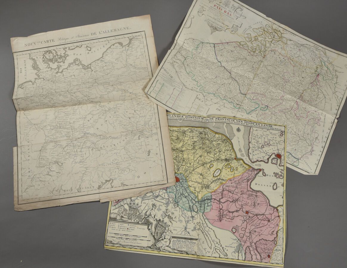
NICOLAS VISSCHER and SCHENK (Holland, 18th century) Map of the Netherlands and part of Belgium. Double folio. Irregularly cut fillets of the frame. A map of the provinces of the Netherlands and a political map of Germany are enclosed. Some defects.
503
NICOLAS VISSCHER and SCHENK (Holland, 18th century) Map of the Netherlands and part of Belgium. Double folio. Irregularly cut fillets of the frame. A map of the provinces of the Netherlands and a political map of Germany are enclosed. Some defects.