Description
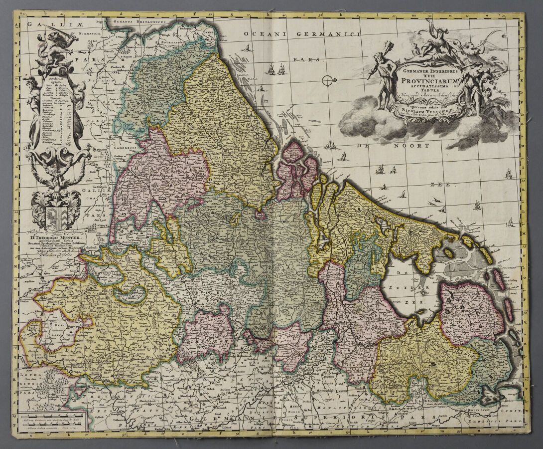
Theodore MEUNTER and Nicolas VISSCHER (Holland XVII / XVIII century) Map of the Netherlands, edition colors. Around 1700. Double folio. The sheet : H. 46,5 cm - L. 55,8 cm Without margins, the print is canvas-backed. A map of the Western Friesland by Pieter SCHENK is attached. A few defects, slight snags in the left part.
463
Theodore MEUNTER and Nicolas VISSCHER (Holland XVII / XVIII century) Map of the Netherlands, edition colors. Around 1700. Double folio. The sheet : H. 46,5 cm - L. 55,8 cm Without margins, the print is canvas-backed. A map of the Western Friesland by Pieter SCHENK is attached. A few defects, slight snags in the left part.