Description
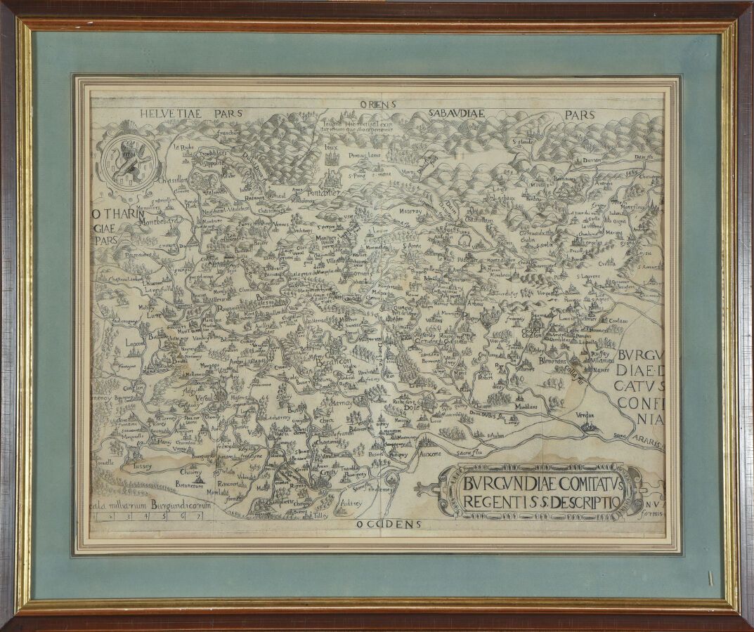
Editions of Nicolas van AELST (16th century) Rare map of Franche Comté Copper engraving. Nice proof on laid paper, at sight : 36 x 46 cm
450
Editions of Nicolas van AELST (16th century) Rare map of Franche Comté Copper engraving. Nice proof on laid paper, at sight : 36 x 46 cm
You may also like