BARROW (John).
BARROW (John).
General map of the Colony of the Cape of Good Hope.
Paris, Picquet. 1 map in 10 parts pasted on canvas, in a modern basane slipcase.
This map (950 x 490 mm) was drawn during John Barrow's voyage in 1787-1798, and consists of 3 parts: The general map, the plan of the Cape and the view of the Cape. Small trace of wetness.
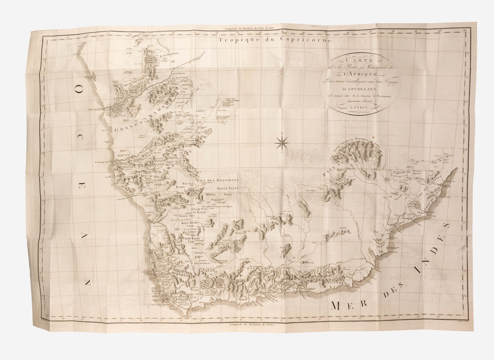
Attached, in an identical but smaller slipcase to the previous one: LEVAILLANT. Map of the southern part of Africa to serve as an intelligence to the two voyages of Levaillant. Paris, Jansen et perronneau. 1 folding map (915 x 630 mm).