Seine-et-Marne.
Department of Seine-et-Marne, extracted from the Topographic Map of France. Paris, , 1841. Very large canvas map (dim. 161 x 156 cm) folded, in folder and case (with title piece on the back). Label Librairie militaire de J. Dumaine on the back of the map.
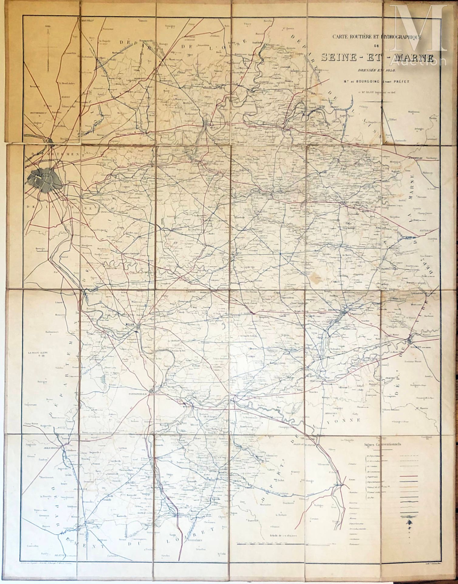
Added by BOURGOING & DAJOT : Road and hydrographic map of Seine-et-Marne. 1858. Colored canvas map (dim. 83 x 66 cm) folded, in case. Tears without missing at the folds.