Description
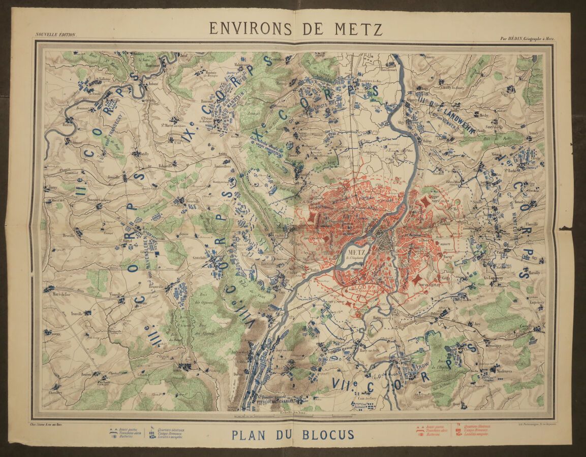
MOSELLE (57) - MAP of "ENVIRONS DE METZ - PLAN DU BLOCUS", by HEDIN Geographer. End of XIXth century. Lithographed and printed in colors at Portenseigne. Legend in lower margin. Margins. Folded, not covered with canvas. 54,5 x 70 cm. Condition A (a short tear in the right margin otherwise good condition).
28
MOSELLE (57) - MAP of "ENVIRONS DE METZ - PLAN DU BLOCUS", by HEDIN Geographer. End of XIXth century. Lithographed and printed in colors at Portenseigne. Legend in lower margin. Margins. Folded, not covered with canvas. 54,5 x 70 cm. Condition A (a short tear in the right margin otherwise good condition).