Description
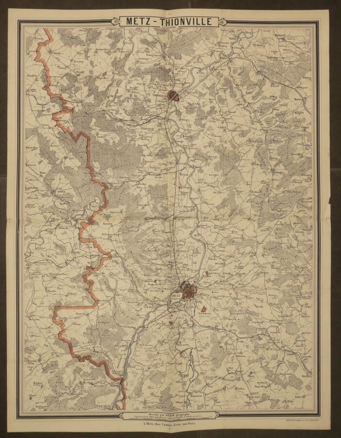
MOSELLE (57) - LORRAINE - MAP of "METZ - THIONVILLE and surroundings". End of XIXth century. Drawn by HEDIN, geographer from the map of the French General Staff, rectified and completed. Lithography. Colored boundaries and settlements. Published in Metz by the author. Margins. Folded and not covered with canvas. 70 x 54 cm. Condition A (good general condition).
27
MOSELLE (57) - LORRAINE - MAP of "METZ - THIONVILLE and surroundings". End of XIXth century. Drawn by HEDIN, geographer from the map of the French General Staff, rectified and completed. Lithography. Colored boundaries and settlements. Published in Metz by the author. Margins. Folded and not covered with canvas. 70 x 54 cm. Condition A (good general condition).
You may also like