Description
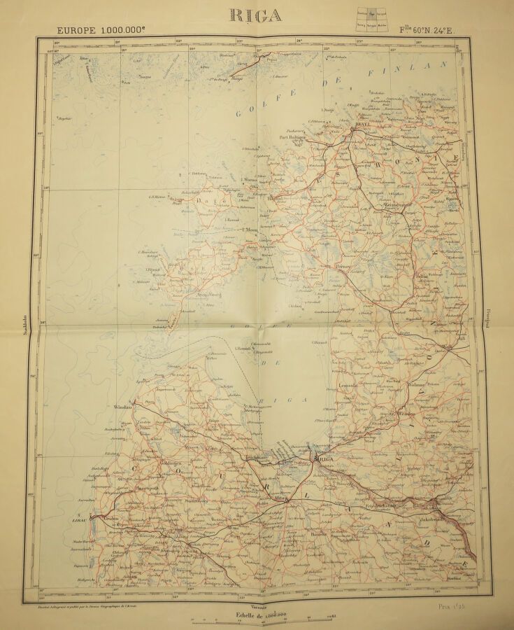
LATVIA - MAP of the surroundings of "RIGA". Beginning of XX th century. Drawn, heliographed and published by the Geographical Service of the Army. Margins. Folded, not covered with canvas. 60 x 50 cm. Condition A (good condition).
14
LATVIA - MAP of the surroundings of "RIGA". Beginning of XX th century. Drawn, heliographed and published by the Geographical Service of the Army. Margins. Folded, not covered with canvas. 60 x 50 cm. Condition A (good condition).
You may also like