Description
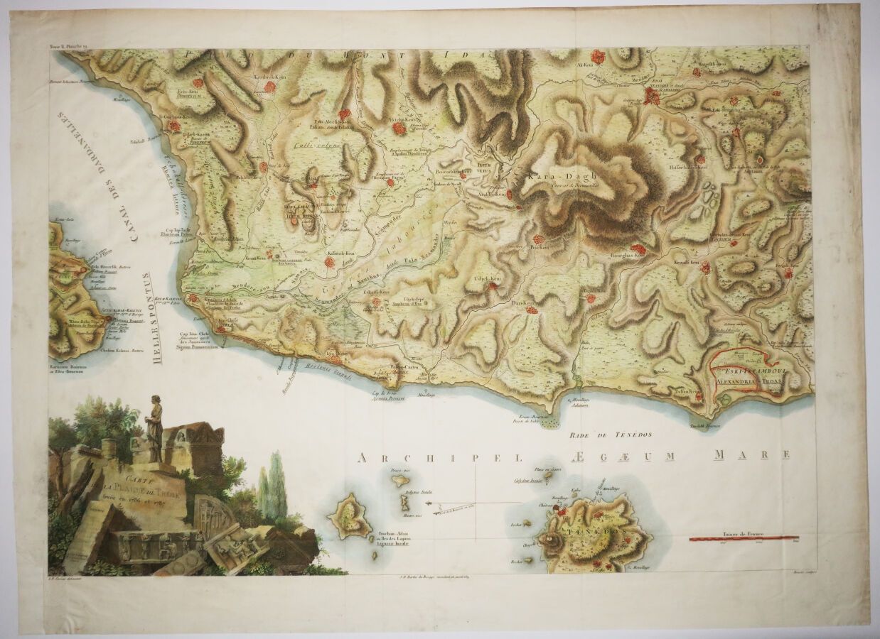
GREECE - "MAP OF THE PLAIN OF TROY surveyed in 1786 and 1787", after L.F CASSAS. 19th century. Engraved map, printed on wove paper. Colors. Margins. 46,5 x 62 cm. A/B condition (a few rare small stains and slight traces of handling).
69
GREECE - "MAP OF THE PLAIN OF TROY surveyed in 1786 and 1787", after L.F CASSAS. 19th century. Engraved map, printed on wove paper. Colors. Margins. 46,5 x 62 cm. A/B condition (a few rare small stains and slight traces of handling).