Description
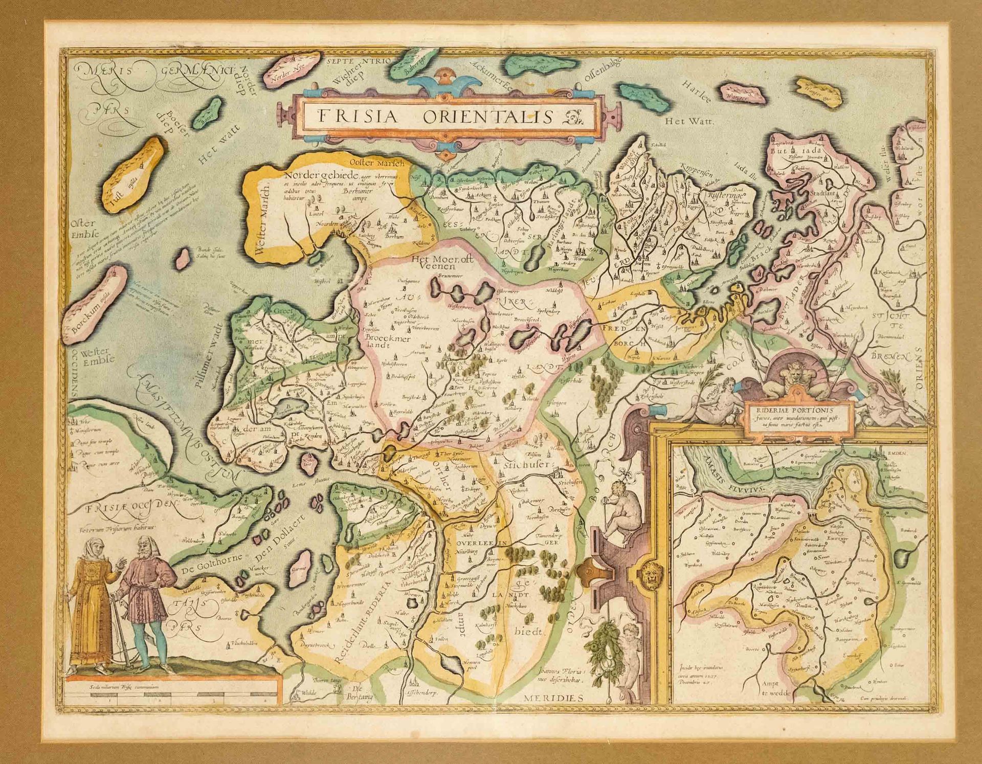
Historical map of East Frisia, ''Frisia Orientalis''. col. Engraving by J. Florianus for A. Ortelius, Antwerp about 1595, from ''Theatrum Orbis Terrarum'', with 2 scrollwork cartouches and mileage indicator, showing the East Frisian coastal area with the islands Borkum to Wangerooge and the (today vanished) island Boese, secondary map with the area around the Dollart, 37 x 50 cm, framed behind glass a. passepartout 58 x 72 cm
7083
Historical map of East Frisia, ''Frisia Orientalis''. col. Engraving by J. Florianus for A. Ortelius, Antwerp about 1595, from ''Theatrum Orbis Terrarum'', with 2 scrollwork cartouches and mileage indicator, showing the East Frisian coastal area with the islands Borkum to Wangerooge and the (today vanished) island Boese, secondary map with the area around the Dollart, 37 x 50 cm, framed behind glass a. passepartout 58 x 72 cm