Description
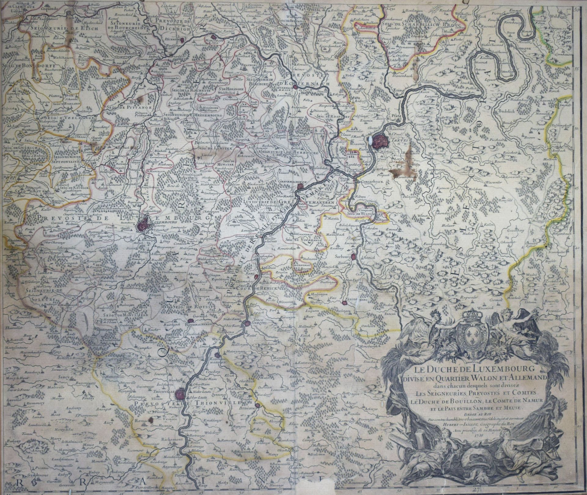
(MAP) Antique map slightly watercolored "The Duchy of Luxembourg divided into Walon and German quarters" by Charles-Hubert-Alexis JAILLOT, 1736, map torn and missing in the lower center, 54 x 53 cm (on view) [Van Der Vekene - Les cartes géographiques du Duché de Luxembourg - 2.32.E].
641
(MAP) Antique map slightly watercolored "The Duchy of Luxembourg divided into Walon and German quarters" by Charles-Hubert-Alexis JAILLOT, 1736, map torn and missing in the lower center, 54 x 53 cm (on view) [Van Der Vekene - Les cartes géographiques du Duché de Luxembourg - 2.32.E].