
Description
Automatically translated by DeepL. The original version is the only legally valid version.
To see the original version, click here.
To see the original version, click here.
558
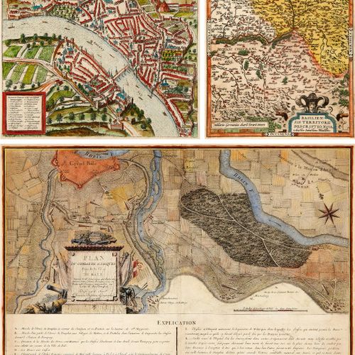
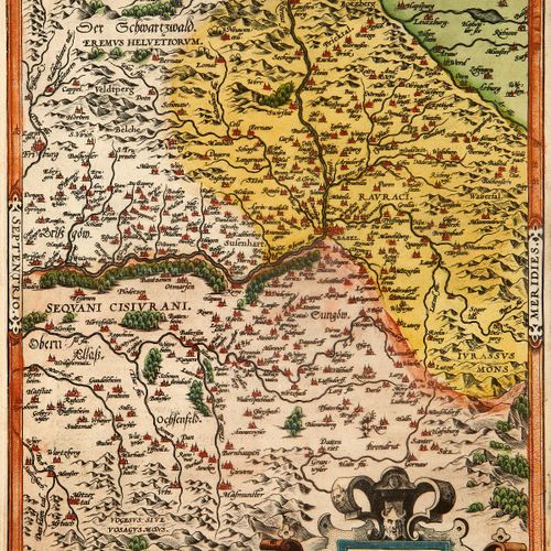
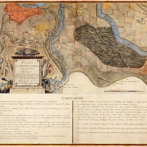
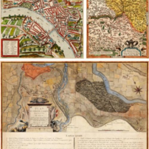
Basel Three colored copper engraved maps. 16th century and 18th century respectively. "Basiliensis Territorii Descriptio Nova", Sebastian Münster (1488 - 1552), "In Maiori Ciuitate - Minor Basilea", Frans Hogenbergh (1540 - 1592) and "Plan du Combat de St. Jacques - Près de la Ville de Bâle", Beat Fidel Zurlauben (1720 - 1799). Lightly stained, margins partly browned. Two sheets with centerfold Height: 33 cm to 39cm Width: 25 cm to 47cm
zofingen, Switzerland