Description
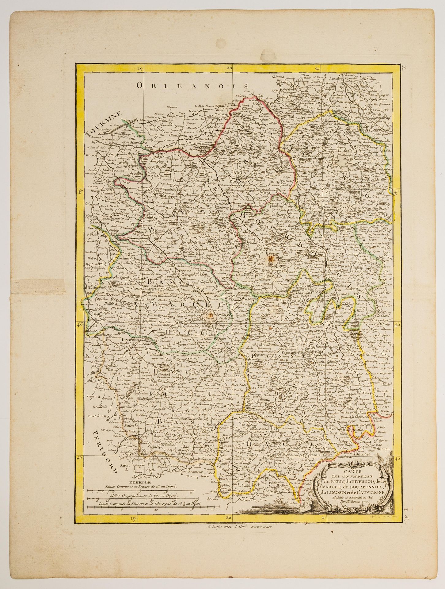
81 - Map of the Governments of BERRI, NIVERNOIS, Marche, Bourbonnois, Limousin, and Auvergne, projected and subjected to the sky by Bonne, 1771 (51 x 38 cm) Condition B+.
81
81 - Map of the Governments of BERRI, NIVERNOIS, Marche, Bourbonnois, Limousin, and Auvergne, projected and subjected to the sky by Bonne, 1771 (51 x 38 cm) Condition B+.
You may also like