AMERIKANISCHE KARTEN
AMERICAN MAPS_x000D_
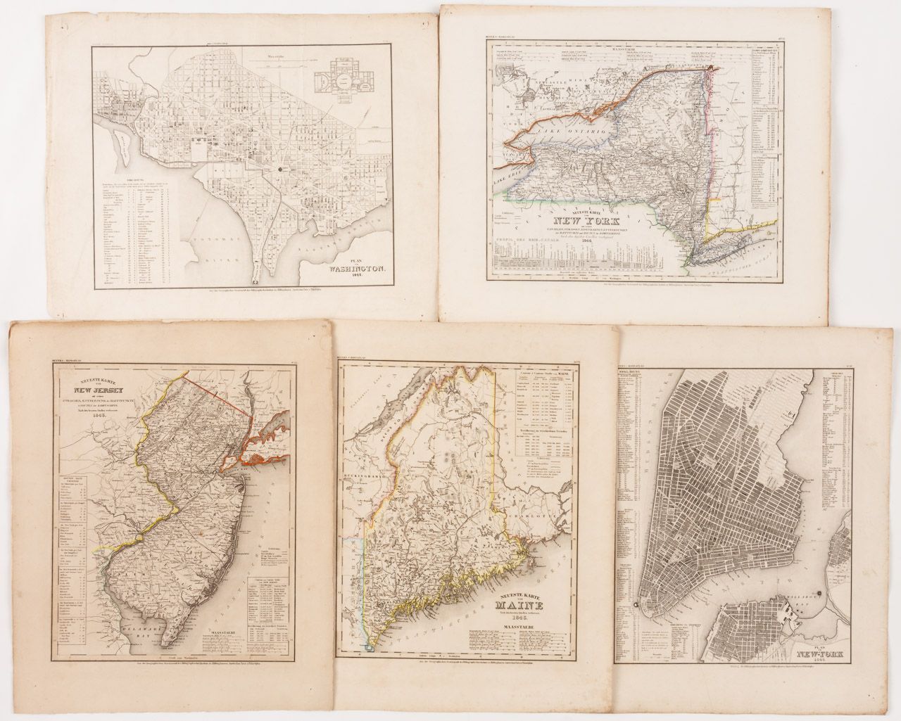
27 steel engravings, mostly partly colored, from Meyer's hand atlas, Bibliographic Institute Hildburghausen, 19th c.._x000D_
Sheet. each approx. 39 x 48 cm_x000D_
_x000D_
The maps, dated between 1844 and 1846, are showing: Washington, New Jersey, Lower Canada, Upper Canada, Illinois, Michigan, Missouri, Arkansas, Kentucky, Ohio, Tennessee, Georgia, Florida, Alabama, Louisiana, Pennsylvania, Maryland, and Delaware, Virginia, North Carolina, South Carolina, New York, Connecticut, City of New York, Maine and Massachusetts, North American Free States, Mexico_x000D_
Condition: partially slightly foxed and slightly torn.