Description
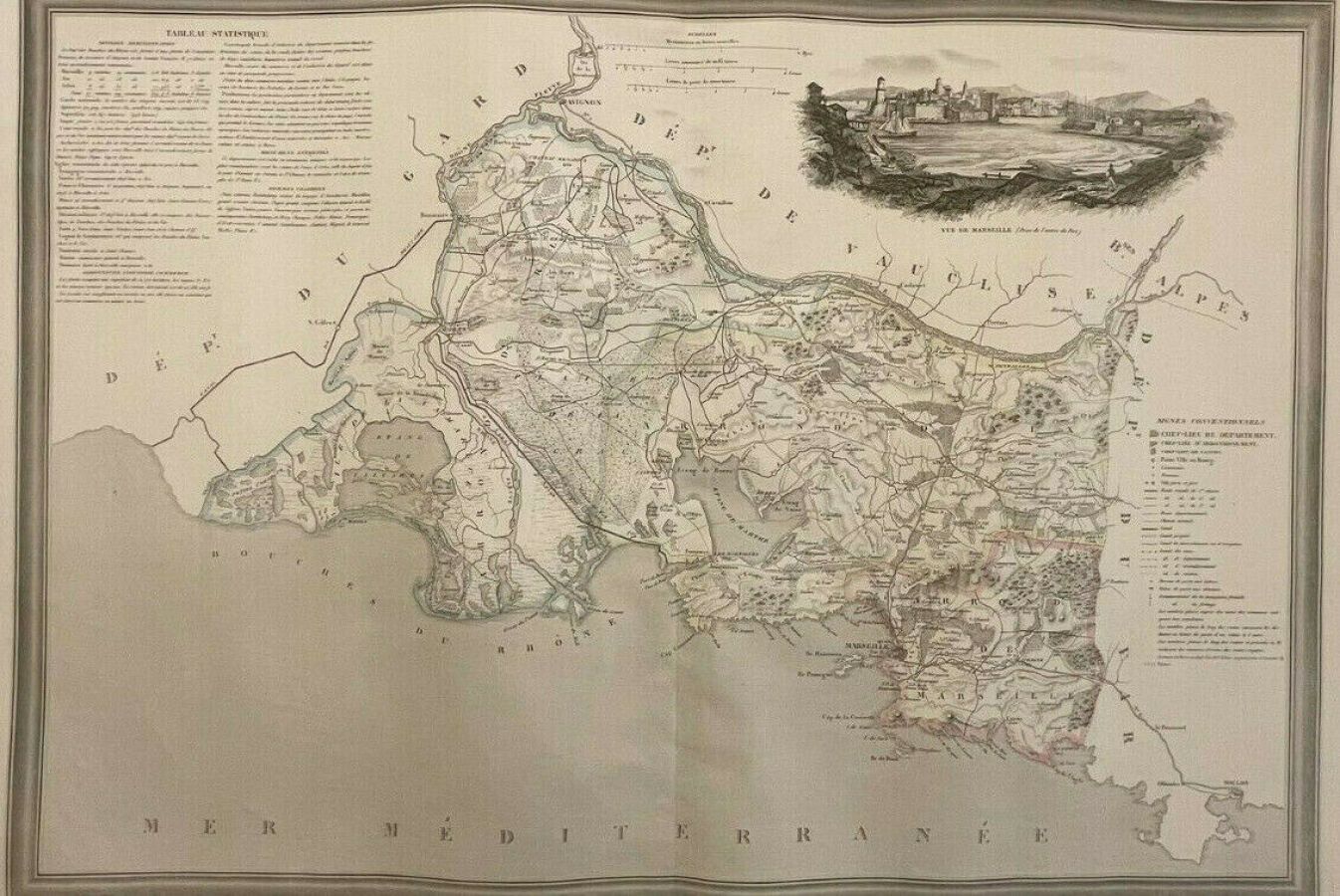
BOUCHES-DU-RHÔNE (13) - DONNET ET MONIN - "Detailed map of the Bouches du Rhône", Paris 1841, taken from the Atlas général de France divisée en départements by Donnet et Monin; with arms and views of Chapuy engraved on copper by MM. Arlus, Malo, Bénard, Traversier, & .a. - 48 x 67,5 cm - Condition A-, map printed on strong paper. Paper slightly yellowed. Size of the plate : 56 x 74 cm. Slight rippling of the paper. Borders in period colours.
85
BOUCHES-DU-RHÔNE (13) - DONNET ET MONIN - "Detailed map of the Bouches du Rhône", Paris 1841, taken from the Atlas général de France divisée en départements by Donnet et Monin; with arms and views of Chapuy engraved on copper by MM. Arlus, Malo, Bénard, Traversier, & .a. - 48 x 67,5 cm - Condition A-, map printed on strong paper. Paper slightly yellowed. Size of the plate : 56 x 74 cm. Slight rippling of the paper. Borders in period colours.