Description
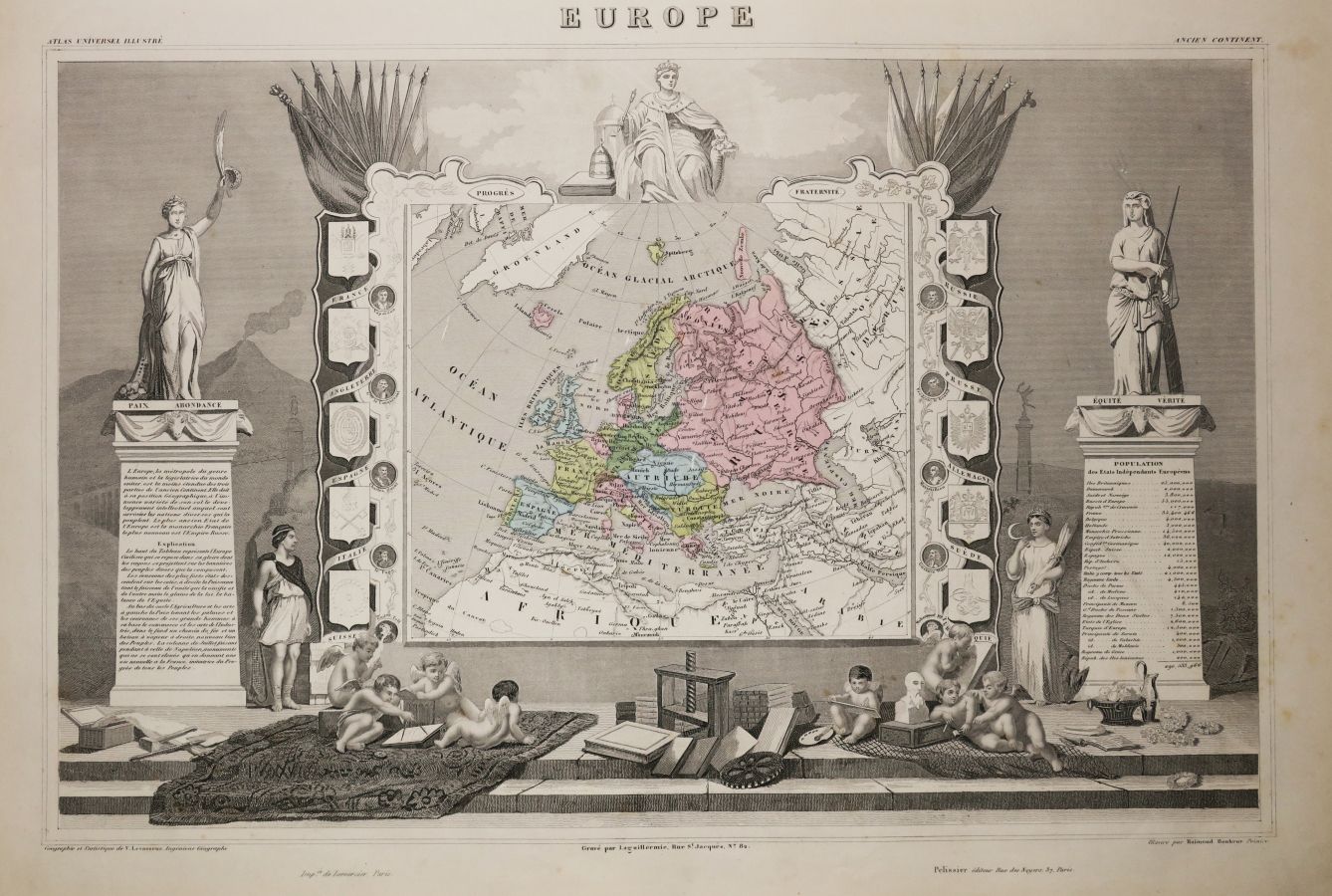
EUROPE - MAP OF "EUROPE", by Victor LEVASSEUR (Atlas National de la France illustrée), 1852. Map engraved by Laguillermie. Older colors. Printed by Lemercier and published by Pelissier, in Paris. Margins. Beautiful map illustrated by Raimond Bonheur. 36,5 x 52 cm. Condition A (very rare light foxing on the margins).
57
EUROPE - MAP OF "EUROPE", by Victor LEVASSEUR (Atlas National de la France illustrée), 1852. Map engraved by Laguillermie. Older colors. Printed by Lemercier and published by Pelissier, in Paris. Margins. Beautiful map illustrated by Raimond Bonheur. 36,5 x 52 cm. Condition A (very rare light foxing on the margins).