Description
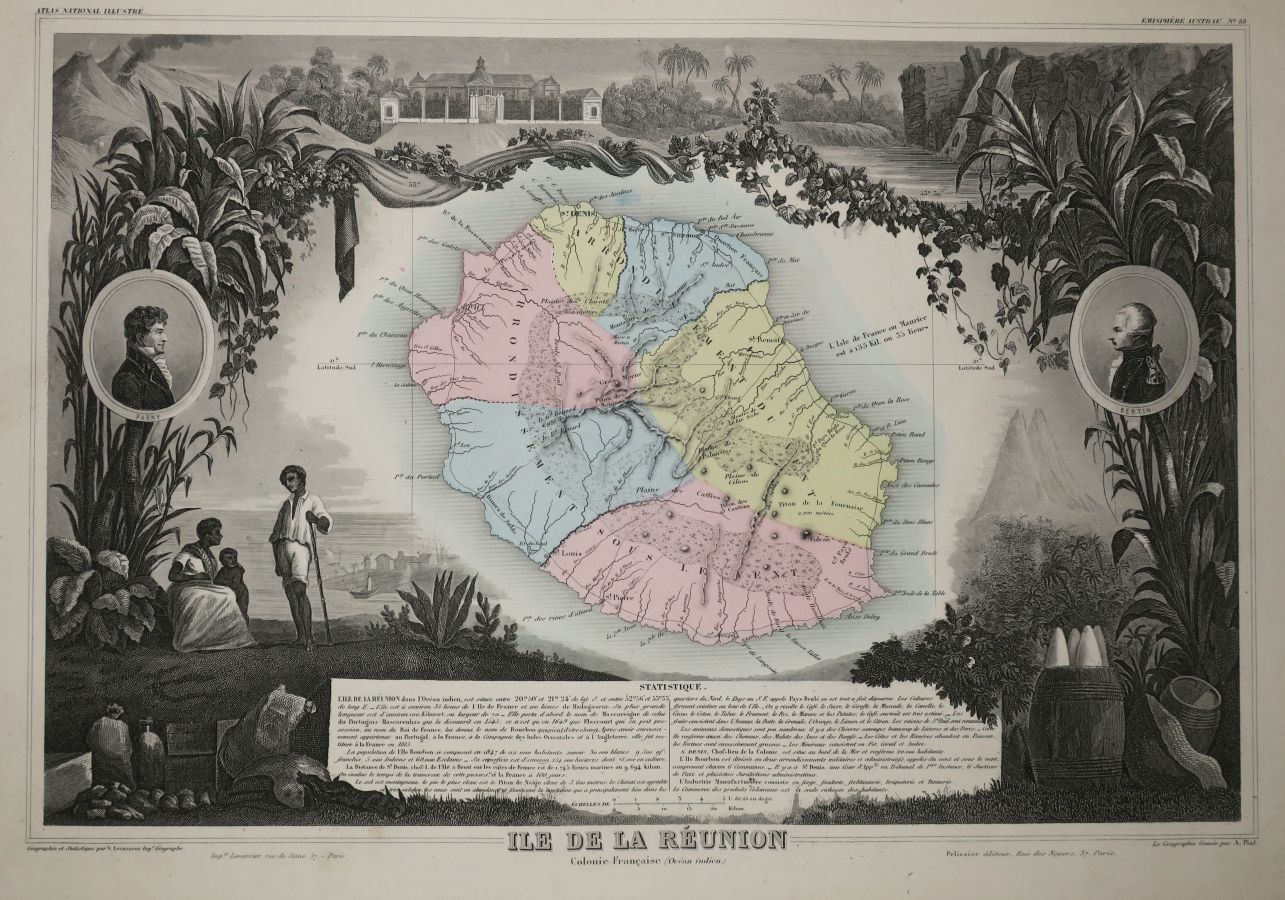
LA REUNION- MAP OF "THE ISLAND OF REUNION, French Colony (Indian Ocean)", by Victor LEVASSEUR (Atlas National de la France illustrée), 1852. Engraved map. Antique colours. Printed by Lemercier and published by Pelissier, in Paris. Margins. With attributes of the island, PORTRAITS by PARNY & BERTIN to illustrate the map. 36,5 x 52 cm. Condition A (Good condition).
21
LA REUNION- MAP OF "THE ISLAND OF REUNION, French Colony (Indian Ocean)", by Victor LEVASSEUR (Atlas National de la France illustrée), 1852. Engraved map. Antique colours. Printed by Lemercier and published by Pelissier, in Paris. Margins. With attributes of the island, PORTRAITS by PARNY & BERTIN to illustrate the map. 36,5 x 52 cm. Condition A (Good condition).