Description
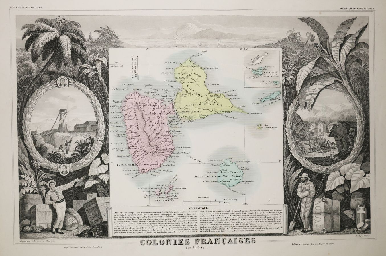
GUADELOUPE & MARIE GALANTE - MAP OF THE "French Colonies (in America)", by Victor LEVASSEUR (Atlas National de la France illustrée), 1852. Engraved map. Antique colours. Printed by Lemercier and published by Pelissier, Paris. Margins. Nice illustrated map. 36,5 x 52 cm. Condition A (Good condition).
16
GUADELOUPE & MARIE GALANTE - MAP OF THE "French Colonies (in America)", by Victor LEVASSEUR (Atlas National de la France illustrée), 1852. Engraved map. Antique colours. Printed by Lemercier and published by Pelissier, Paris. Margins. Nice illustrated map. 36,5 x 52 cm. Condition A (Good condition).