Ode, Henri
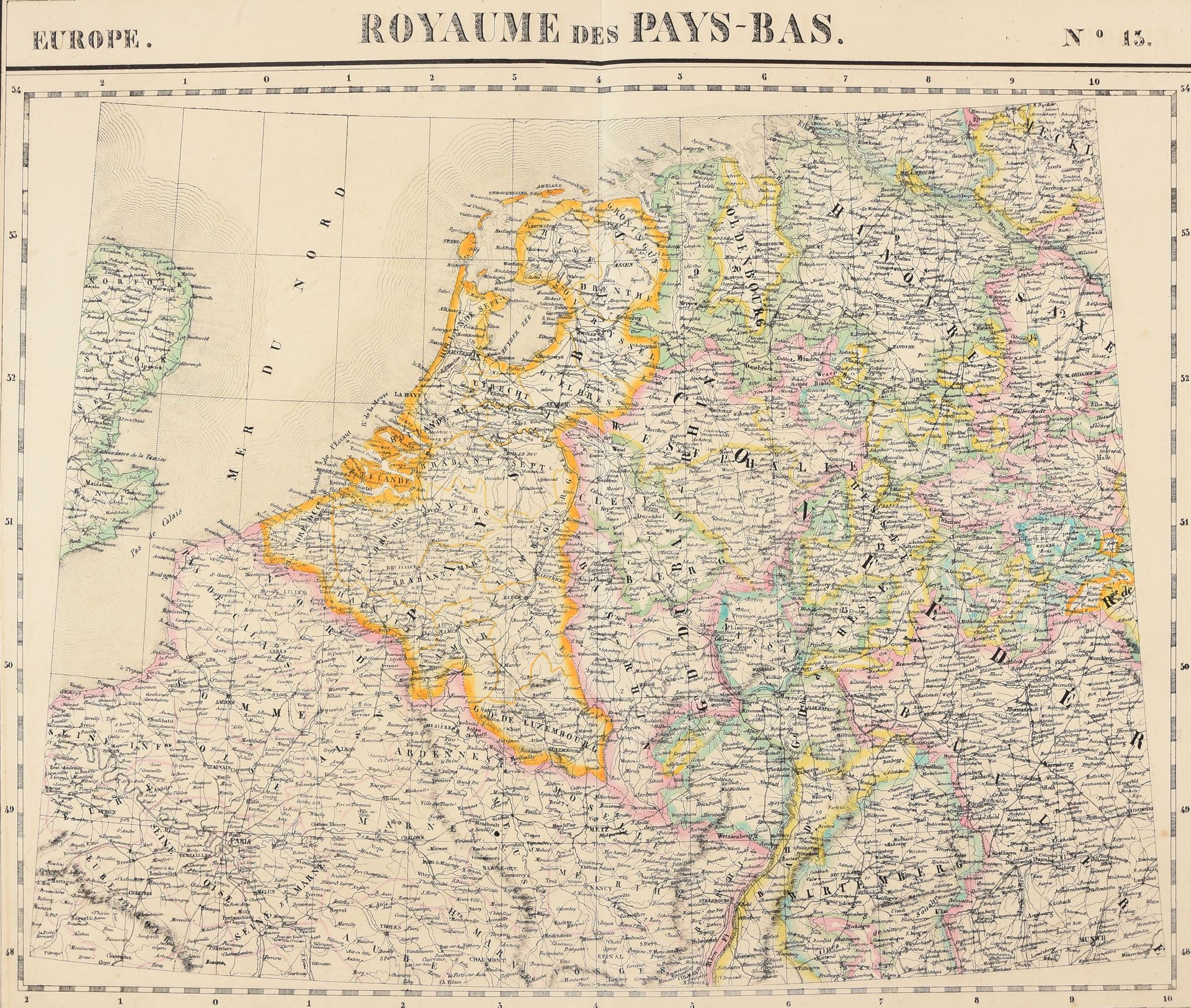
VANDERMAELEN, Philippe Atlas universel de géographie physique, politique, statistique et minéralogique, sur l'échelle 1/1641836 ou d'une ligne par 1900 toises [...], lithographié par H. Ode. Brussels [P. Vandermaelen] 1827 6 vols, large folio (54,5 x 37,5 cm): 387 coloured maps (II: pl. 64-66 spotted & browned; IV: extra pl. "Tableau provisoire d'assemblage d'une partie de l'Amérique sept.", some foxing). Contemp. half calf, brown mottled paper covers, gilt decorated spines (sm. tr. of use). 3rd edition of Ph. Vandermaelen's folio-size atlas published in instalments between 1825 & 1827. It is the first atlas produced by the then new printing process of lithography and the first to show the whole world in maps using a large uniform scale resulting in the most detailed maps made at the time, or according to a contemporary: "The great features of the world are known; the details alone are left to our perseverance." With 6 general maps of the continents and 29 maps of Europe, 111 of Asia, 60 of Africa, 77 of North America, 44 of South America and 60 of Oceania. The 1st volume contains the "Statistique de l'Europe d'après Hassel" in 2nd ed. with table, errata and "Statistique de la Turquie", and the "Tableau comparatif des principales hauteurs du globe". Ref. Koeman III, Vdm 1 - Inventaire raisonné des collections cartographiques Vandermaelen V, Atlas [3].