Description
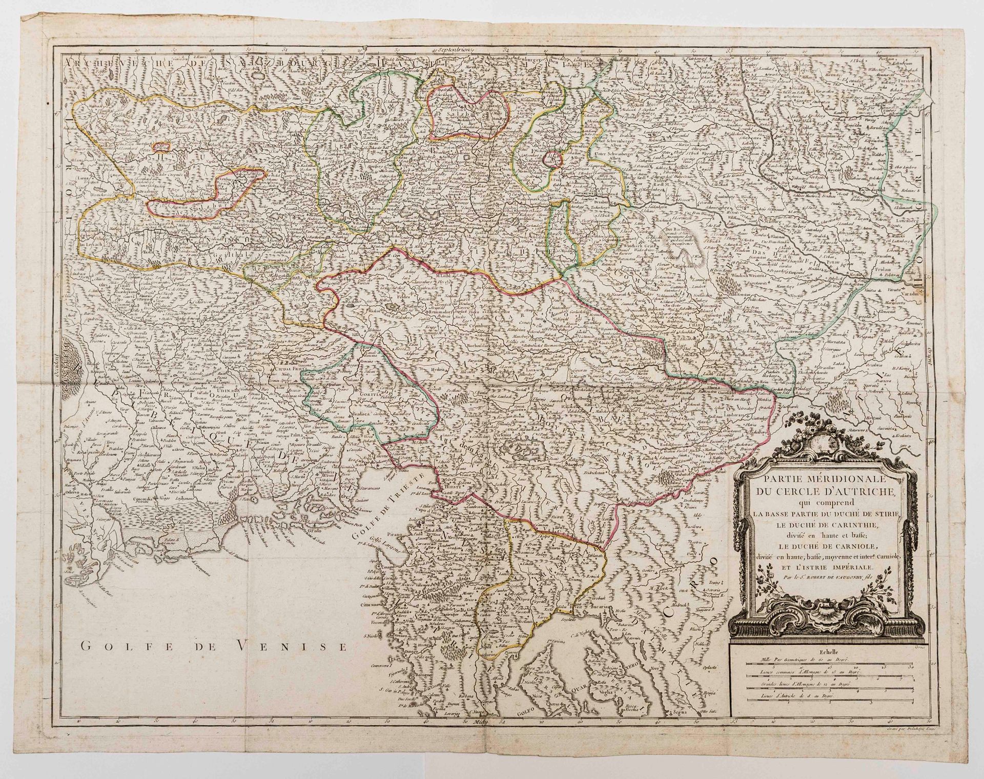
18th century map: "Southern part of the circle of AUSTRIA, which includes the lower part of the Duchy of Styria, the Duchy of Carinthia, divided into upper and lower; the Duchy of Carniola, divided into upper, lower, middle and inter. Carniola and Imperial Istria. By Sr. Robert de Vaugondy fils" engraved by Delahaye (51,5 x 66 cm) (c. 1760) Condition B+.
100
18th century map: "Southern part of the circle of AUSTRIA, which includes the lower part of the Duchy of Styria, the Duchy of Carinthia, divided into upper and lower; the Duchy of Carniola, divided into upper, lower, middle and inter. Carniola and Imperial Istria. By Sr. Robert de Vaugondy fils" engraved by Delahaye (51,5 x 66 cm) (c. 1760) Condition B+.