Description
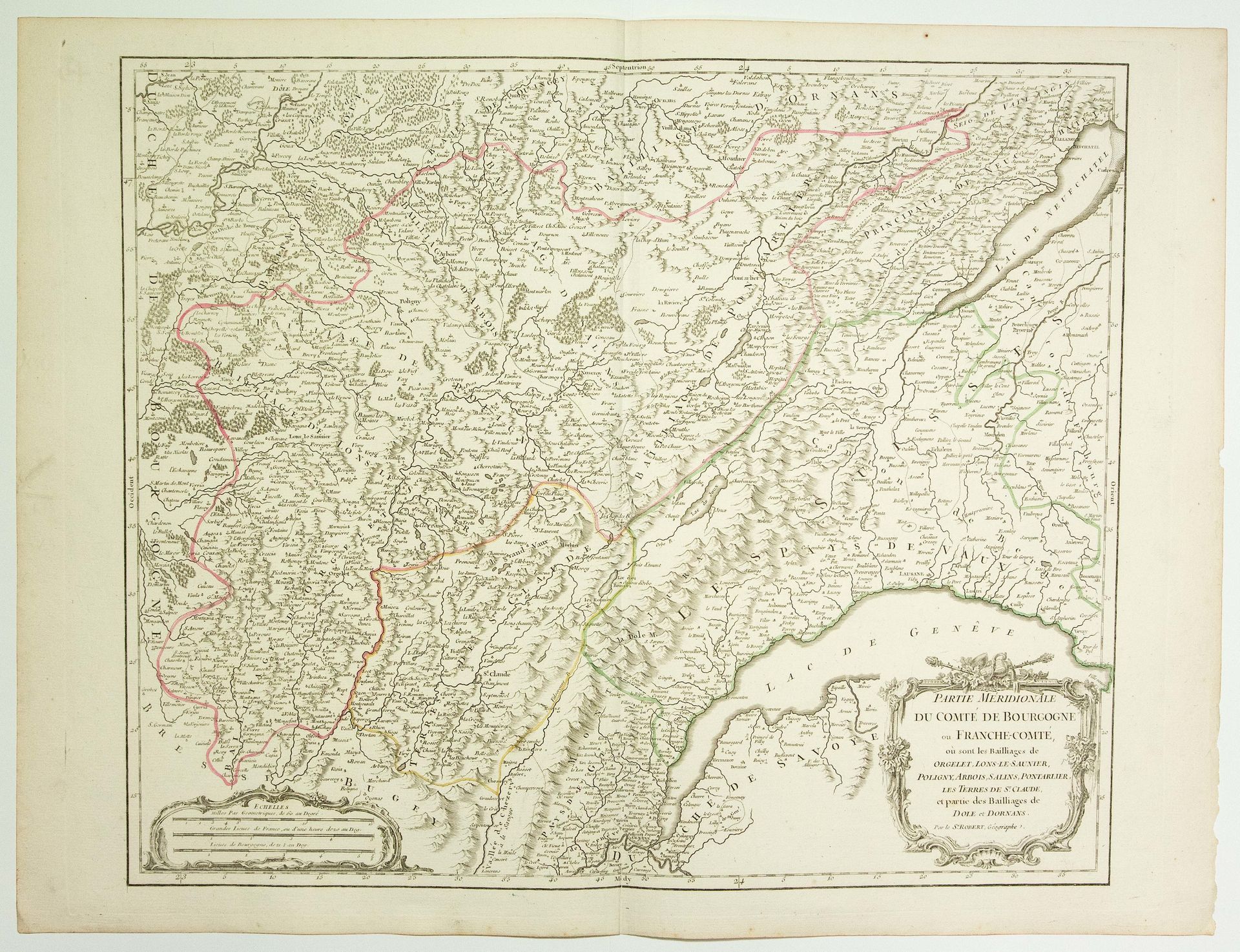
18th century map: "Southern part of the COUNTY OF BURGUNDY or FRANCHE-COMTÉ, where the Bailiwicks of ORGELET, LONS-LE-SAUNIER, POLIGNY, SALINS, PONTARLIER, the lands of ST CLAUDE, and part of the Bailiwicks of DOLE and DORNANS are. By Sieur Robert de Vaugondy, Geographer. (c. 1752) (51.5 x 68.5 cm) Condition A.
99
18th century map: "Southern part of the COUNTY OF BURGUNDY or FRANCHE-COMTÉ, where the Bailiwicks of ORGELET, LONS-LE-SAUNIER, POLIGNY, SALINS, PONTARLIER, the lands of ST CLAUDE, and part of the Bailiwicks of DOLE and DORNANS are. By Sieur Robert de Vaugondy, Geographer. (c. 1752) (51.5 x 68.5 cm) Condition A.