Description
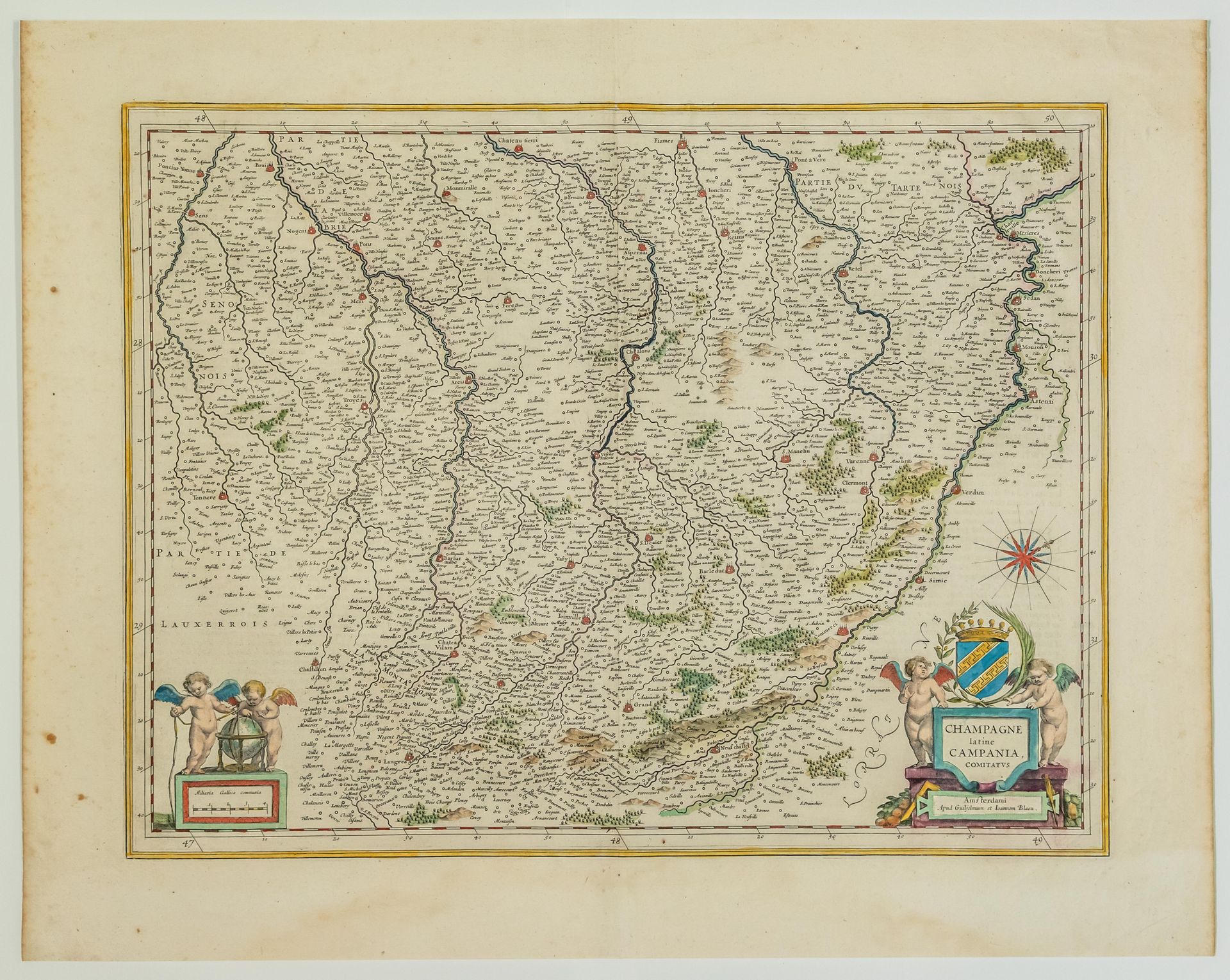
17th century map : " CHAMPAGNE latine, Campania, comitatus ". From Guillaume and Joannès BLAEU, in Amsterdam (C. 1634) (Tonnerre (89), Troyes (10), Arcis (10), Chalons (51), Reims (51), Rethel (08), Mézières (08), Verdun (55), Commercy (55), Langres (52), Bar-le-Duc (55),...) Map (47,5 x 60 cm) Condition A. Old colours. Text on the back.
18
17th century map : " CHAMPAGNE latine, Campania, comitatus ". From Guillaume and Joannès BLAEU, in Amsterdam (C. 1634) (Tonnerre (89), Troyes (10), Arcis (10), Chalons (51), Reims (51), Rethel (08), Mézières (08), Verdun (55), Commercy (55), Langres (52), Bar-le-Duc (55),...) Map (47,5 x 60 cm) Condition A. Old colours. Text on the back.
You may also like