Description
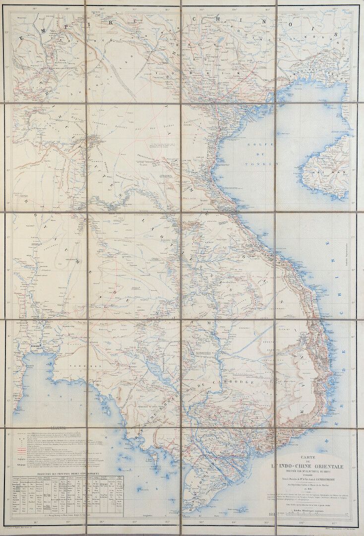
1881. Map of Eastern Indo-China. Drawn by J.L. Dutreuil de Rhins published by Vice Admiral Jaureguiberry at the depot of maps and plans of the Navy in 1881. Printed by Lemercier et Cie. Rue de Seine. Dimensions : 101x68 cm. Map folded on canvas in 20 sides. Very good condition.
47
1881. Map of Eastern Indo-China. Drawn by J.L. Dutreuil de Rhins published by Vice Admiral Jaureguiberry at the depot of maps and plans of the Navy in 1881. Printed by Lemercier et Cie. Rue de Seine. Dimensions : 101x68 cm. Map folded on canvas in 20 sides. Very good condition.