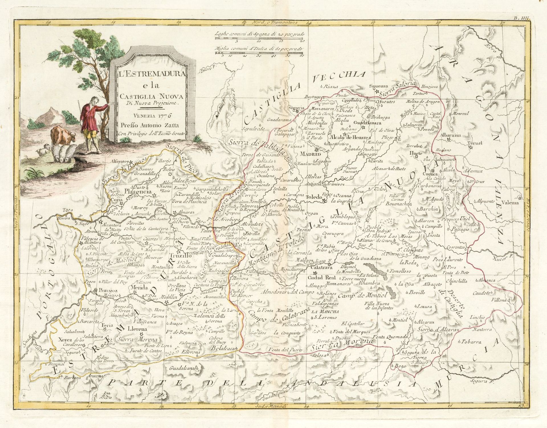
Description
ANTONIO ZATTA (1775 / 1797) Map of Extremadura and New Castile", 1776.
Illuminated by hand. Author, title, year, place and privilege in the cartouche in the upper right-hand corner. . Copper engraving.Huella: 29,5 x 38,5 cm.
501
ANTONIO ZATTA (1775 / 1797) Map of Extremadura and New Castile", 1776.