Description
Automatically translated by DeepL. The original version is the only legally valid version.
To see the original version, click here.
To see the original version, click here.
728
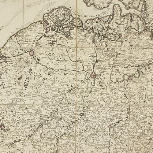
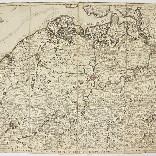
Etchings, engravings, screenprints etc. - A rare map of Belgium: 'Carte contenant le pais entre Nieuport, l'Ecluse, Anvers, Ypres et Bruxelles', by Georges Louis le Rouge, Paris, ca. 1750, paper on linen, some hand colouring -50,5 x 63 cm-.
ijsselstein, Netherlands