Description
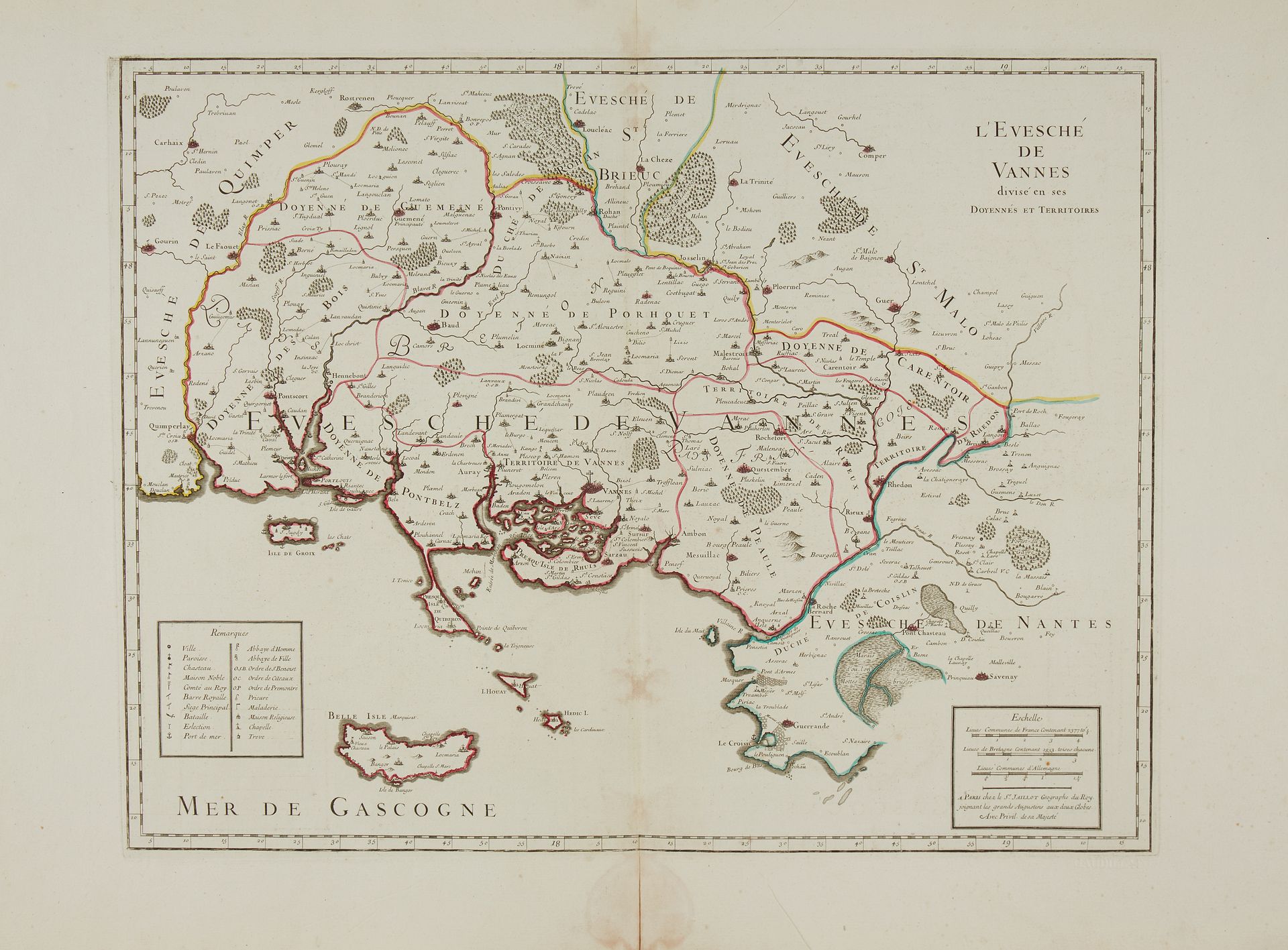
JAILLOT, A.H. L'Evesché de Vannes. Paris, 1699. Bound in old col. Nice copy on strong paper. 447 x 580 mm. Undated edition. This map was published in the "Atlas Français". Represents the Gulf of Morbihan, the Rhuis peninsula, Quiberon and Belle-Ile. § Copy reproduced in Cartes anciennes de la Bretagne 1582-1800, Pl. N°76.
94
JAILLOT, A.H. L'Evesché de Vannes. Paris, 1699. Bound in old col. Nice copy on strong paper. 447 x 580 mm. Undated edition. This map was published in the "Atlas Français". Represents the Gulf of Morbihan, the Rhuis peninsula, Quiberon and Belle-Ile. § Copy reproduced in Cartes anciennes de la Bretagne 1582-1800, Pl. N°76.