Description
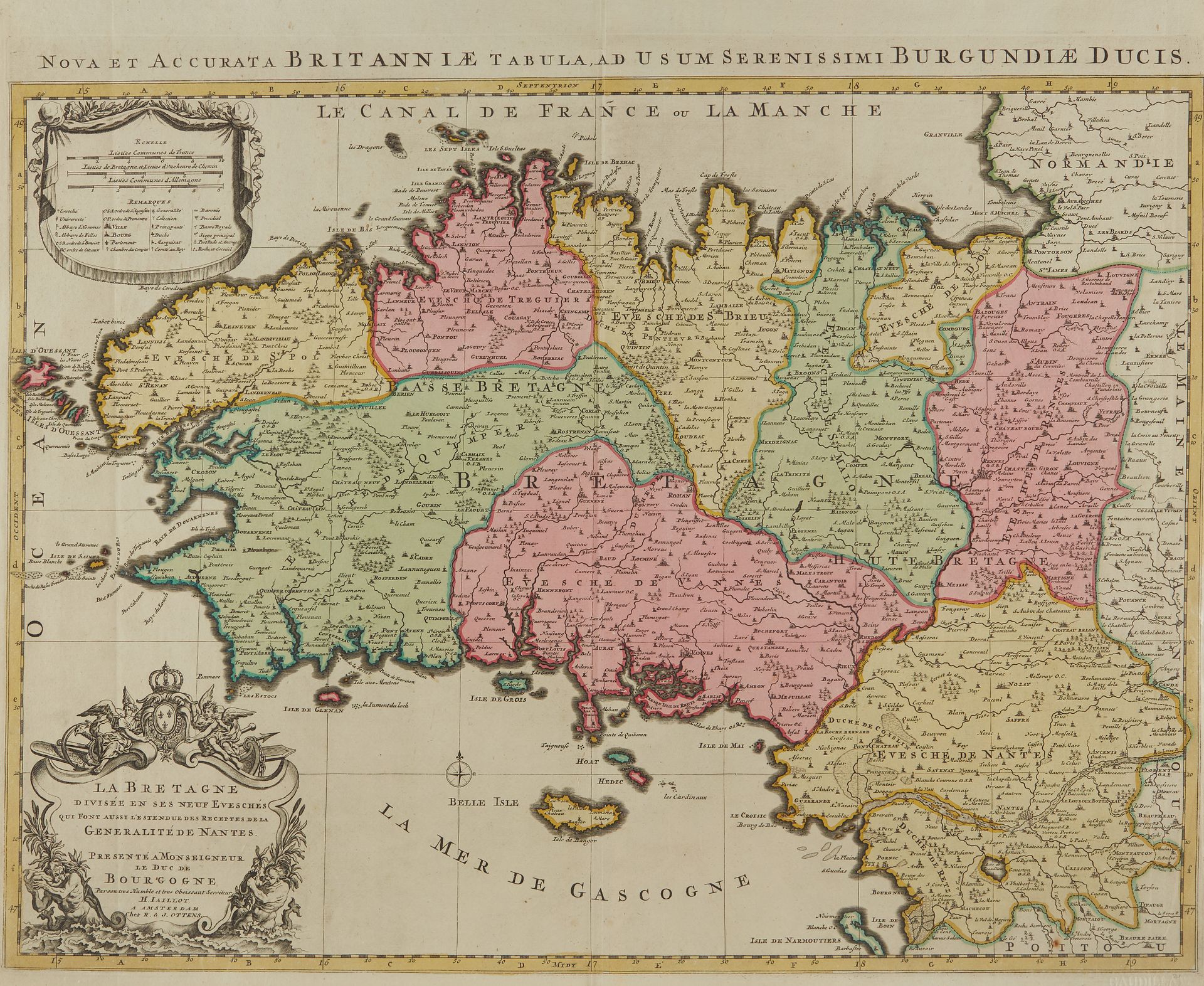
JAILLOT, A.H. La Bretagne Divisée en ses neuf Eveschés. Paris, 1693-1696. Boundaries in old col. Nice copy on strong paper. 463 x 650 mm. Second state of this map of Brittany published in the "Atlas Français", with the reinstatement of the islands of Houat and "Heydic" (Hoedic). The 1690 map is the first map to use the name "Le Canal de France ou France or La Manche". - C. Gaudillat, Old maps of Brittany 1582-1800, Pl. N° 23.
87
JAILLOT, A.H. La Bretagne Divisée en ses neuf Eveschés. Paris, 1693-1696. Boundaries in old col. Nice copy on strong paper. 463 x 650 mm. Second state of this map of Brittany published in the "Atlas Français", with the reinstatement of the islands of Houat and "Heydic" (Hoedic). The 1690 map is the first map to use the name "Le Canal de France ou France or La Manche". - C. Gaudillat, Old maps of Brittany 1582-1800, Pl. N° 23.