Description
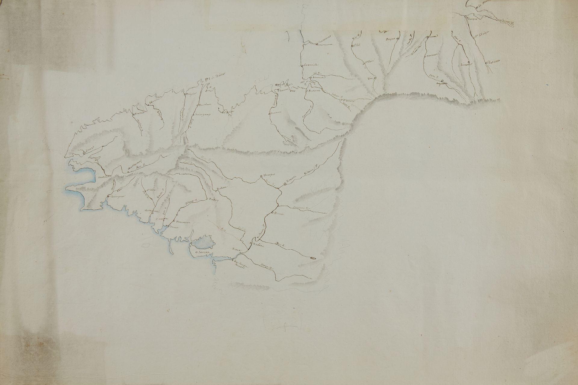
ANONYMOUS HANDWRITTEN MAP. (Part of Brittany and Lower Normandy). After 1690. period col. Handwritten map on laid paper. Pen, ink wash, watercoloured shoreline in blue. Good condition. 345 x 530 mm. Anonymous handwritten map without date, scale or compass. Only the island of Bréhat is indicated, the map is mainly hydrographic. Note the old names of the towns of : L'Orient, Sarzan, Rhedon, Quimperlai, Henneborn.
71
ANONYMOUS HANDWRITTEN MAP. (Part of Brittany and Lower Normandy). After 1690. period col. Handwritten map on laid paper. Pen, ink wash, watercoloured shoreline in blue. Good condition. 345 x 530 mm. Anonymous handwritten map without date, scale or compass. Only the island of Bréhat is indicated, the map is mainly hydrographic. Note the old names of the towns of : L'Orient, Sarzan, Rhedon, Quimperlai, Henneborn.