Description
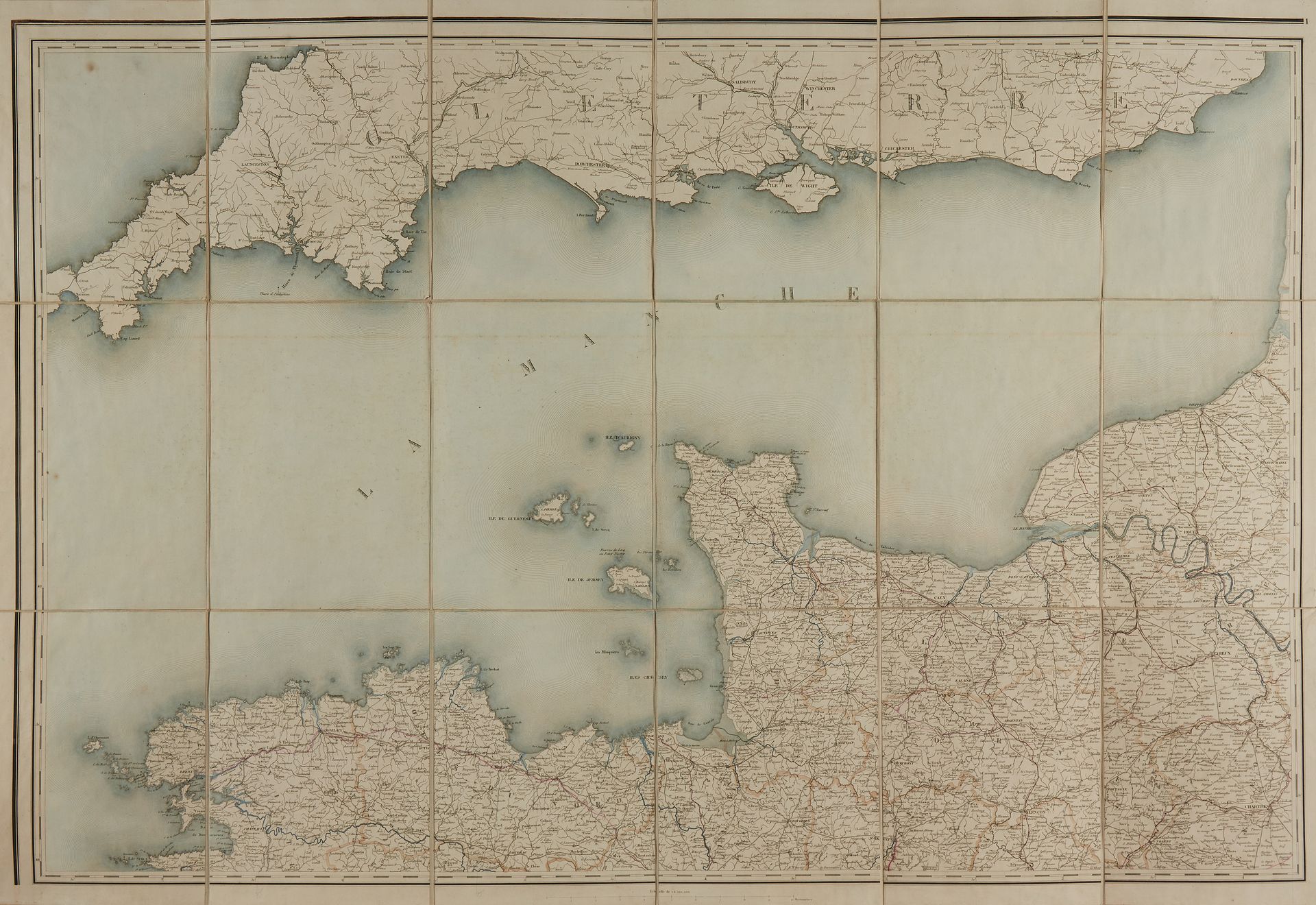
DEPOSIT OF MAPS AND PLANS OF THE MINISTRY OF AGRICULTURE. Map of the main communication routes of France. Paris, 1861. Period col. Engraved map in 6 unattached sheets, cloth-backed and folded. In its original in-4 slipcase, 1/2 bound in red basane, gilt title, gilt fillet on the spine and framing the boards. Very good copy of the map. Some cracks and wear to the slipcase but good condition. In period colours. 700 x 1020 each. 260 x 210 mm. Map of the main communication routes of France drawn up at the depot of maps and plans of the Ministry of Agriculture, Trade and Public Works according to the information produced by the engineers of the Ponts et Chaussées, 1861. - – 1:500 000.
13
DEPOSIT OF MAPS AND PLANS OF THE MINISTRY OF AGRICULTURE. Map of the main communication routes of France. Paris, 1861. Period col. Engraved map in 6 unattached sheets, cloth-backed and folded. In its original in-4 slipcase, 1/2 bound in red basane, gilt title, gilt fillet on the spine and framing the boards. Very good copy of the map. Some cracks and wear to the slipcase but good condition. In period colours. 700 x 1020 each. 260 x 210 mm. Map of the main communication routes of France drawn up at the depot of maps and plans of the Ministry of Agriculture, Trade and Public Works according to the information produced by the engineers of the Ponts et Chaussées, 1861. - – 1:500 000.