Description
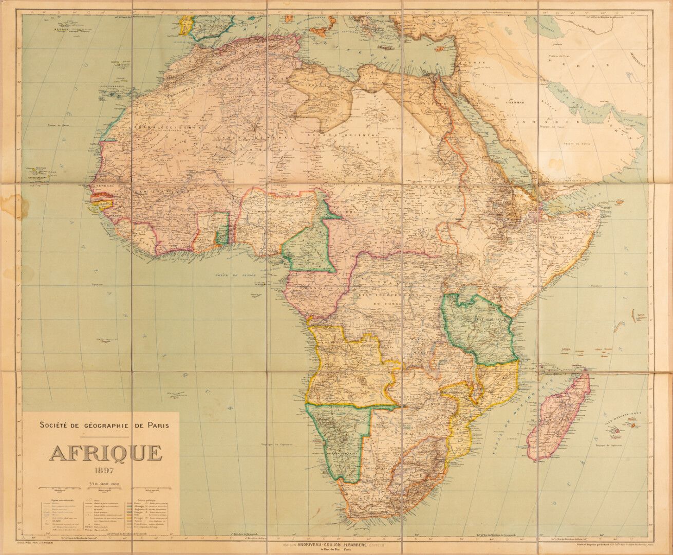
Canvas map of Africa of the Geographical Society of Paris dated 1897 drawn by J.Hansen and published by Andriveau Goujon Barrere. Stamp of the seller Andriveau on the back of the map. Interesting map with the mention of the colonial empires of France, Germany, England, Italy, and independent states like Congo. Scale 1/10 000 000. Size: 100 cm x 90 cm.
53
Canvas map of Africa of the Geographical Society of Paris dated 1897 drawn by J.Hansen and published by Andriveau Goujon Barrere. Stamp of the seller Andriveau on the back of the map. Interesting map with the mention of the colonial empires of France, Germany, England, Italy, and independent states like Congo. Scale 1/10 000 000. Size: 100 cm x 90 cm.