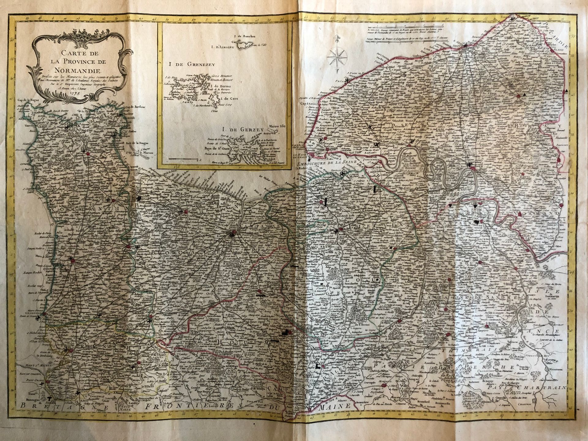
DUPPERIER, le Sr.
Map of the province of Normandy, drawn up on the basis of the most recent memoirs and subject to the observations of Mrs. de l'Académie royale des sciences. Rouen, chez l'Auteur, 1775. Boundaries in old col. On strong paper. Handwritten additions in pencil. 510 x 700 mm.
Beautiful map of unusual Normandy, published in Rouen, including near the title a box with the Channel Islands. Some handwritten additions in pencil.