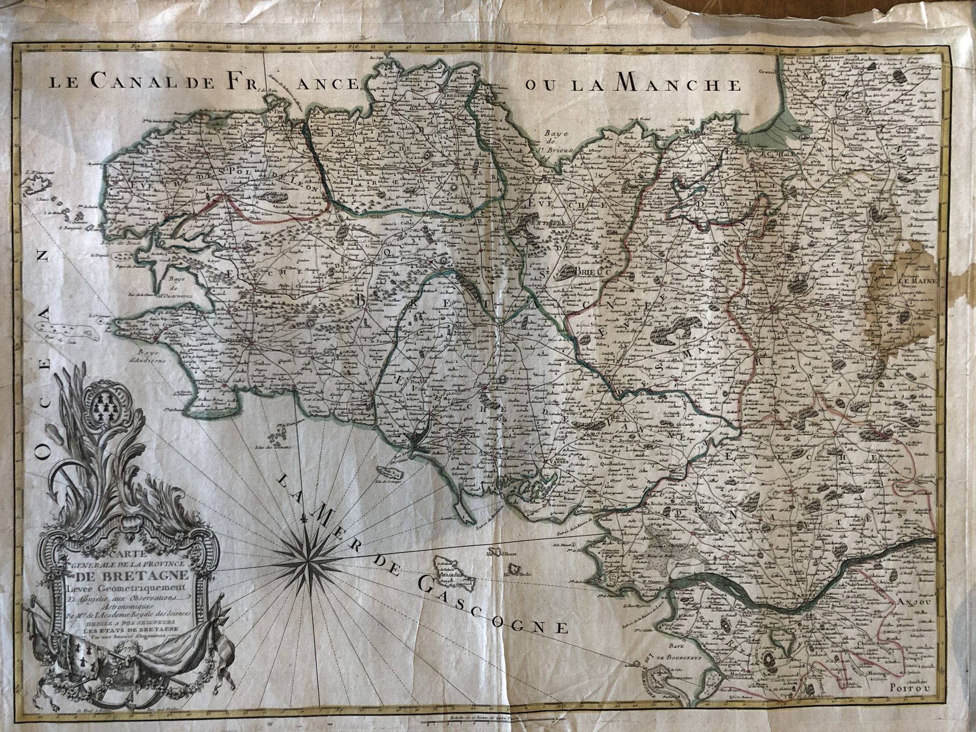
BRETAGNE. — SOCIÉTÉ D'INGÉNIEURS.
General Map of the Province of Brittany Geometrically surveyed... Rennes, 1775. Boundaries in old col. Moistenings in the left margin at the edge of the border, large brown spot on the right in the Maine region. 510 x 720 mm.
First published state by Mondhare of the "Carte Generale de la Province de Bretagne Levée Géométriquement et Assujetie aux Observations Astronomiques de M.rs de l'Academie Royale des Sciences. Dedicated to our Lords the States of Brittany by a Society of Engineers. Sold in Rennes Rue aux Foulon.
Decorated with a title cartouche in the lower left corner, a compass rose and a scale of 10 leagues of 2,400 toises. This map, published in Rennes, shows the roads and paths with mentions of posts along the main roads. - Gaudillat, Old maps of Brittany 158261800, n° 63.