Description
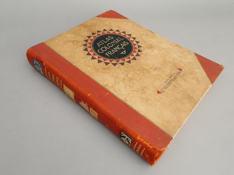
1929 Commander Paul POLLACCHI French colonial atlas. Colonies, Protectorates and Countries under Mandate. 56 Maps and text by Maj. P. Pollacchi. Ed. L'Illlustration, 1929. 318 pages. 261 gravure photos in the text. Some colour map plates. Abundantly illustrated in and out of text with maps, maps, portraits and landscapes. Hardcover hardcover publisher's binder. Thickness : 5 cm. Size : 40x33 cm. Spine and corners in red basane in good condition. A few freckles.
18
1929 Commander Paul POLLACCHI French colonial atlas. Colonies, Protectorates and Countries under Mandate. 56 Maps and text by Maj. P. Pollacchi. Ed. L'Illlustration, 1929. 318 pages. 261 gravure photos in the text. Some colour map plates. Abundantly illustrated in and out of text with maps, maps, portraits and landscapes. Hardcover hardcover publisher's binder. Thickness : 5 cm. Size : 40x33 cm. Spine and corners in red basane in good condition. A few freckles.