Beschreibung
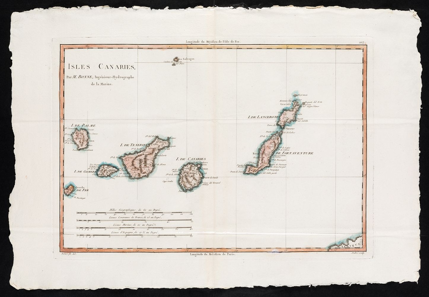
RIGOBERT BONNE (1729 / 1795) "Map of the Canary Islands"
Karte der Kanarischen Inseln für den Atlas Encyclopedique. Paris 1787-1788. Bezeichnet: Bonne fil. del.; André sculp. Vier Skalen. . Grundfläche: 25,2 x 36,3 cm. Kupferstich.
520
RIGOBERT BONNE (1729 / 1795) "Map of the Canary Islands"