Beschreibung
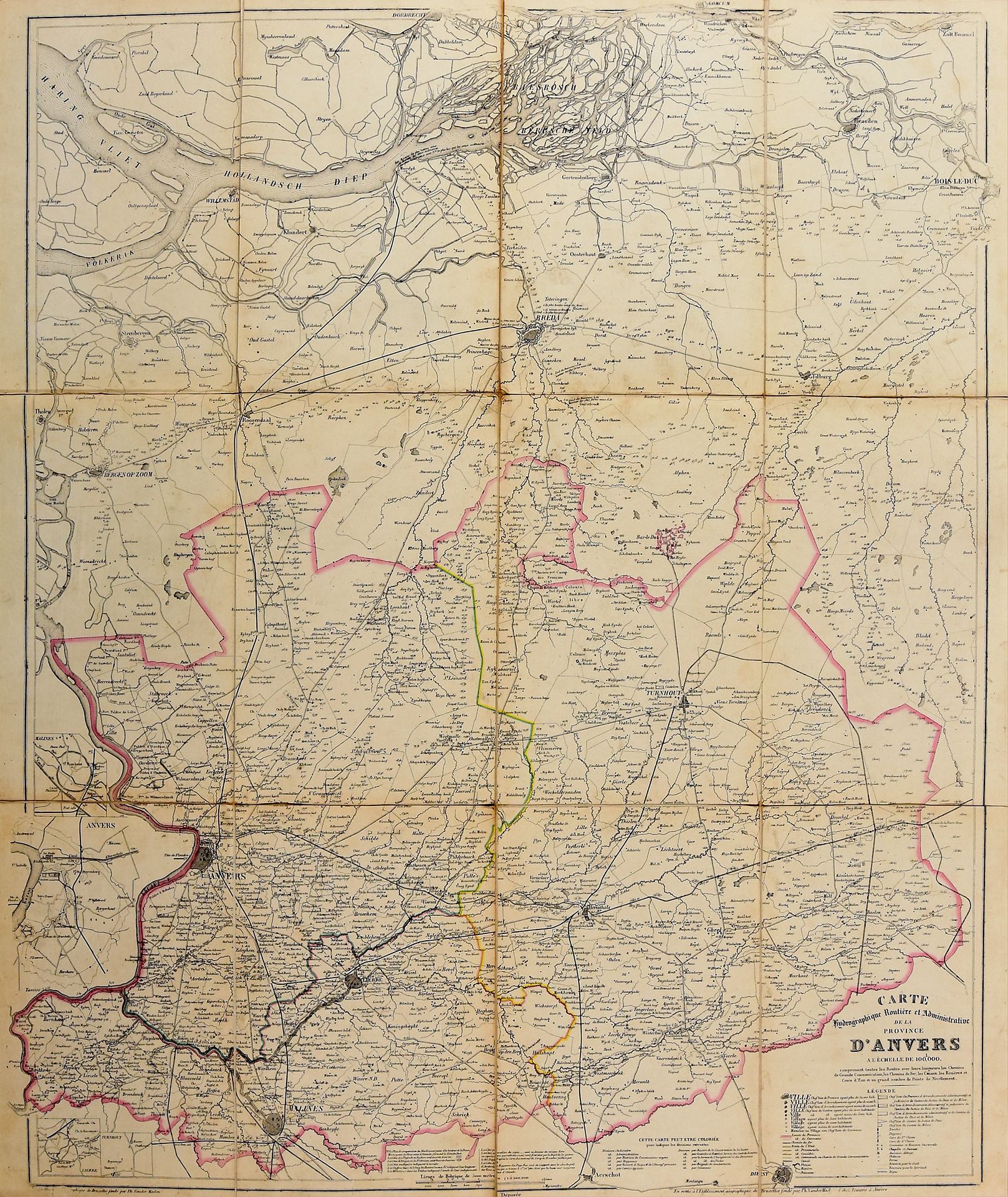
9 large maps of the provinces. Brussels Établissement géographique de Bruxelles fondée par Ph. Van der Maelen [1852-1861] Lith., verschiedene Größen (83 x 100 cm or smaller), teilweise koloriert, auf Leinen montiert (sm. defects). Ph. Vandermaelens "Atlas hydrographique, routier et administratif des neuf provinces de la Belgique", inkl. Straßen, Schienen, Kanäle, Flüsse, Ströme und einer großen Anzahl von Vermessungspunkten. Ref. Silvestre, M.; Fincoeur, M.-B. - Inventaire raisonné des collections cartographiques Vandermaelen I, 36.
543
9 large maps of the provinces. Brussels Établissement géographique de Bruxelles fondée par Ph. Van der Maelen [1852-1861] Lith., verschiedene Größen (83 x 100 cm or smaller), teilweise koloriert, auf Leinen montiert (sm. defects). Ph. Vandermaelens "Atlas hydrographique, routier et administratif des neuf provinces de la Belgique", inkl. Straßen, Schienen, Kanäle, Flüsse, Ströme und einer großen Anzahl von Vermessungspunkten. Ref. Silvestre, M.; Fincoeur, M.-B. - Inventaire raisonné des collections cartographiques Vandermaelen I, 36.