Beschreibung
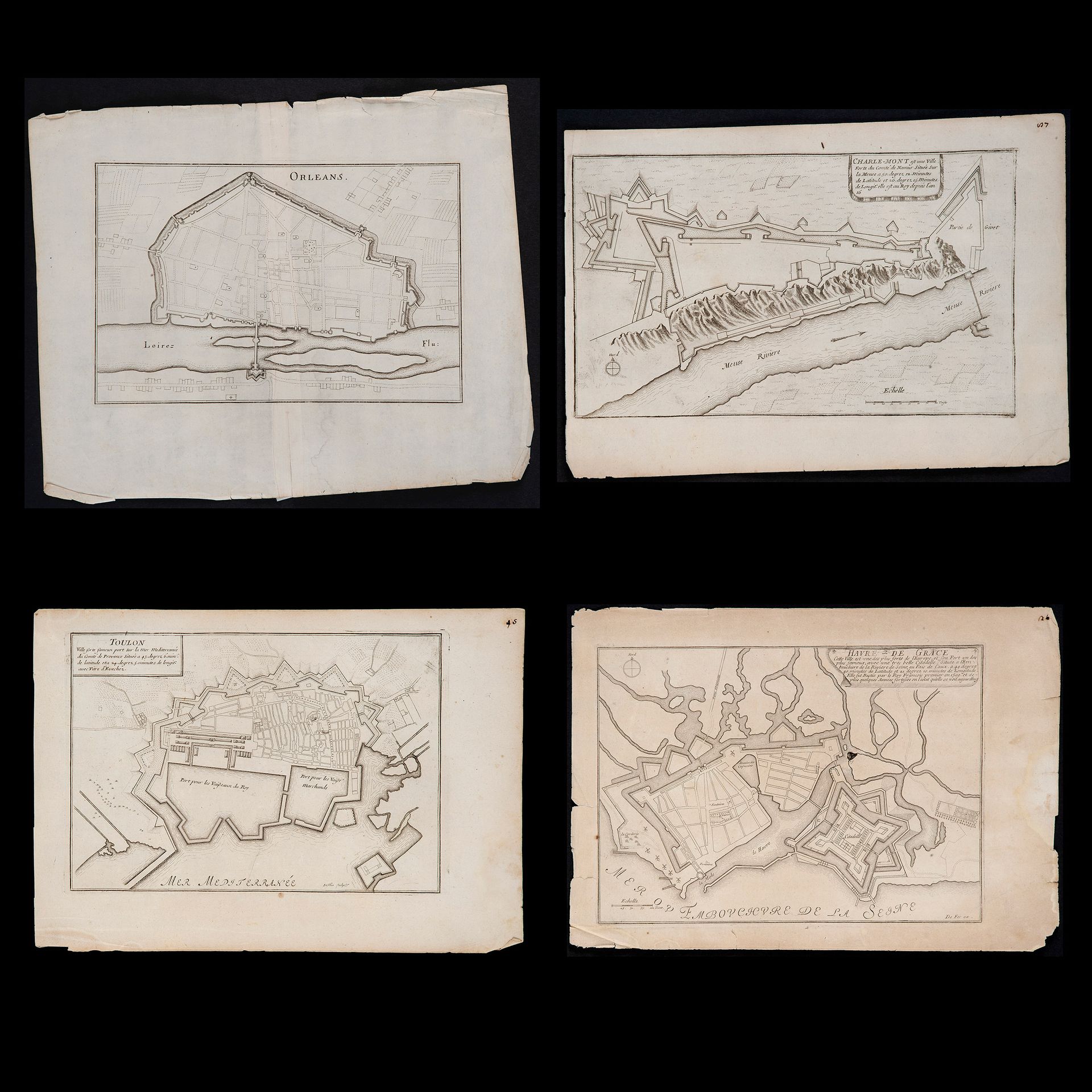
Charles Inselin (active 1673-1725) and Nicolas de Fer (Paris 1646 – 1720), Four French maps, second half of the 17th century
Kupferstiche auf wassergetränktem Bütten mit der Darstellung von "Toulon - Havre de Grace - Charle Mont - Orleans"; zwei Stücke sind unsigniert. Mängel vorhanden, ungerahmt Kupferstich, Maße jeweils ca. 9,8x14,1 und 12,2x15,3 Zoll.
165
Charles Inselin (active 1673-1725) and Nicolas de Fer (Paris 1646 – 1720), Four French maps, second half of the 17th century