Beschreibung
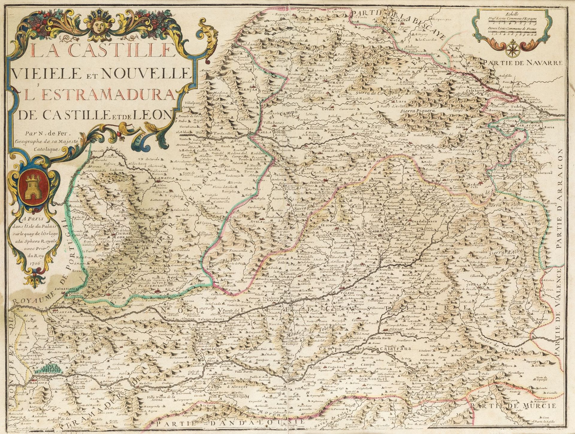
NICOLAS DE FER (1646 / 1720) Mapa de las dos Castillas. Extremadura and southern part of the Kingdom of León, 1706.
Illuminiert von Hand. Titel, Autor und Datum in Kartusche auf Füllhorn. . Kupferstich, Huella: 44 x 58 cm.
500
NICOLAS DE FER (1646 / 1720) Mapa de las dos Castillas. Extremadura and southern part of the Kingdom of León, 1706.