Descripción
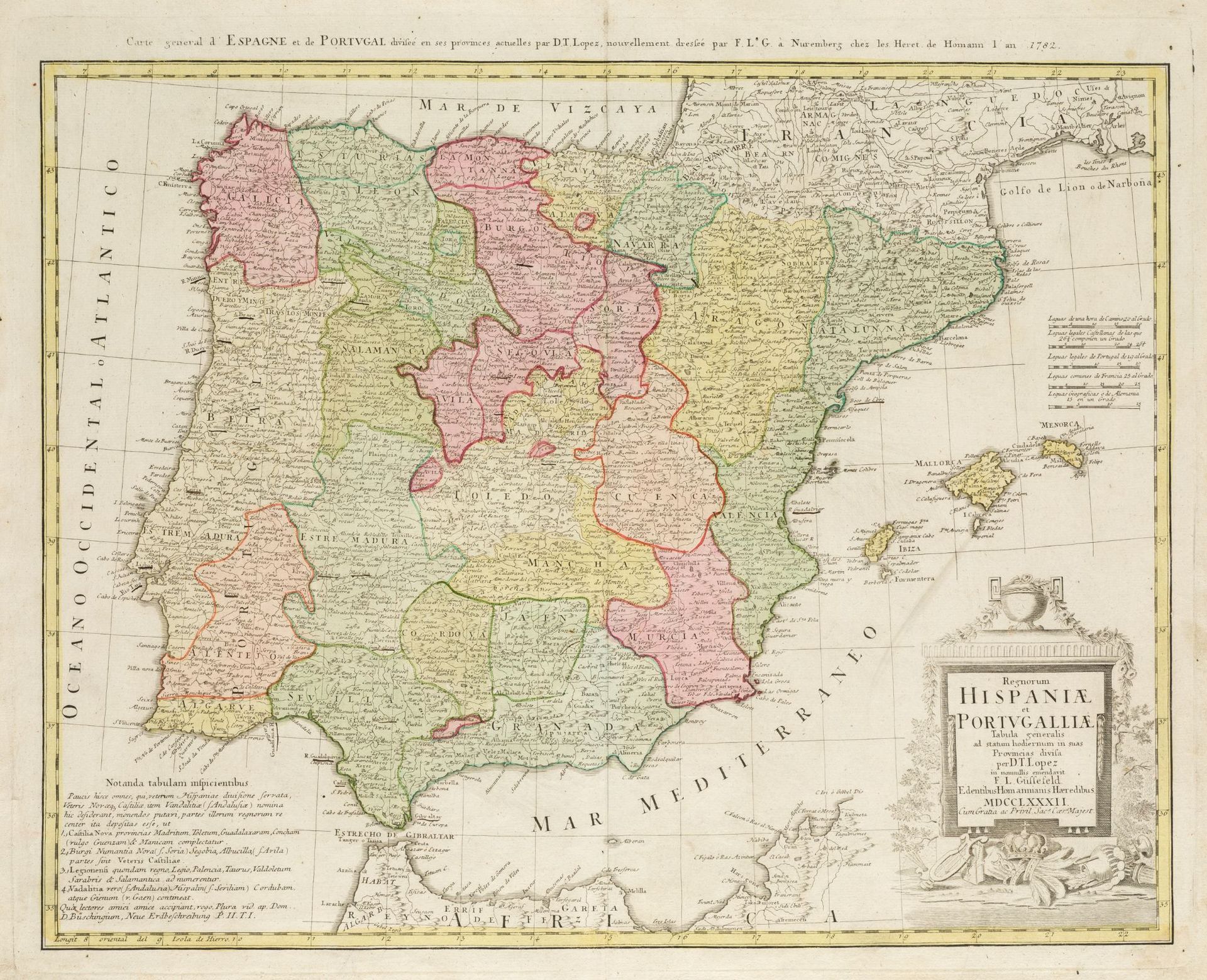
TOMAS LOPEZ DE VARGAS Y MACHUCA (1730 / 1802) "General Map of Spain and Portugal", 1782.
Iluminado a mano. Autor, título, año, lugar y privilegio en la cartela del ángulo superior derecho. . Grabado en cobre.Huella: 49,5 x 61,5 cm.
502
TOMAS LOPEZ DE VARGAS Y MACHUCA (1730 / 1802) "General Map of Spain and Portugal", 1782.